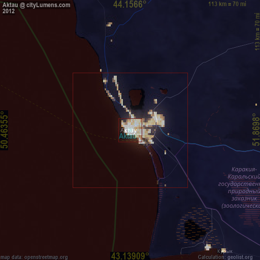
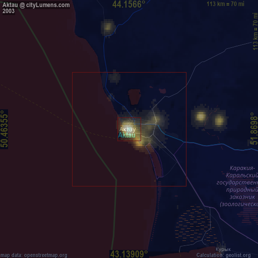
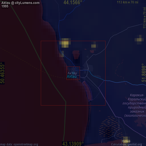
Aktau night lights from space
Night Light of Aktau (Mangghystaū) from space (Kazakhstan) Src. Average luminocity for 10x10km area is 57.9394% and for 50x50km: 7.4353%.

Analysis of Aktau night lights 2016
Square area 10x10 km:
 15.15%
90-99
20.45%80-89
6.97%70-79
3.64%60-69
6.06%50-59
4.7%40-49
2.12%30-39
3.79%20-29
12.12%10-19
17.27%0-9
7.73%Square area 50x50 km:
1.01%90-99
1.58%80-89
0.98%70-79
0.81%60-69
1.09%50-59
0.67%40-49
0.84%30-39
0.9%20-29
2.32%10-19
4.4%0-9
85.4%Clear (daylight) street map image can be seen on geolist.org.
Map coordinates:
44° 9' 23.8" North, 50° 27' 48.8" East
43° 39' 0" North, 51° 10' 0" East
43° 8' 20.7" North, 51° 52' 11.3" East
Some cities around Aktau sort by population:
• Derbent, RU
293.1 km =182.1 mi,  233°
233°
• Zhanaozen
141 km =87.6 mi,  104°
104°
• Izberbash, RU
293.7 km =182.5 mi,  245°
245°
• Shetpe
95.3 km =59.2 mi,  52°
52°
• Yeraliyev
66.7 km =41.4 mi,  141°
141°
• Zhetibay
73.7 km =45.8 mi,  94°
94°
• Novokayakent, RU
293.8 km =182.6 mi,  241°
241°
• Fort-Shevchenko
119.5 km =74.3 mi,  322°
322°
610612 (p: 147,443)
Sources (retrieved 2019-11-25):
» NASA, Earths city lights 1995
» NASA city lights 2003
» Earth at Night: Flat Maps 2012, 2016