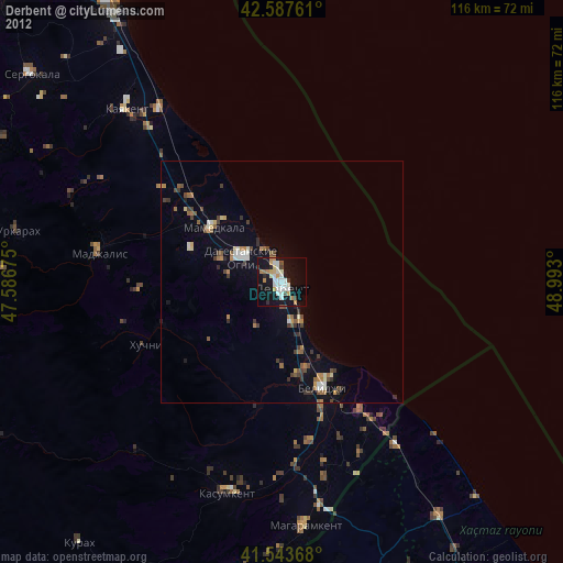
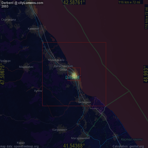
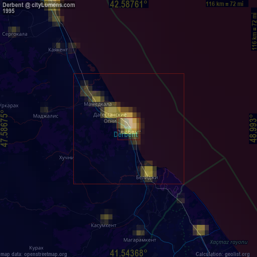
Derbent night lights from space
Night Light of Derbent (Dagestan) from space (Russia) Src. Average luminocity for 10x10km area is 29.319% and for 50x50km: 3.635%.
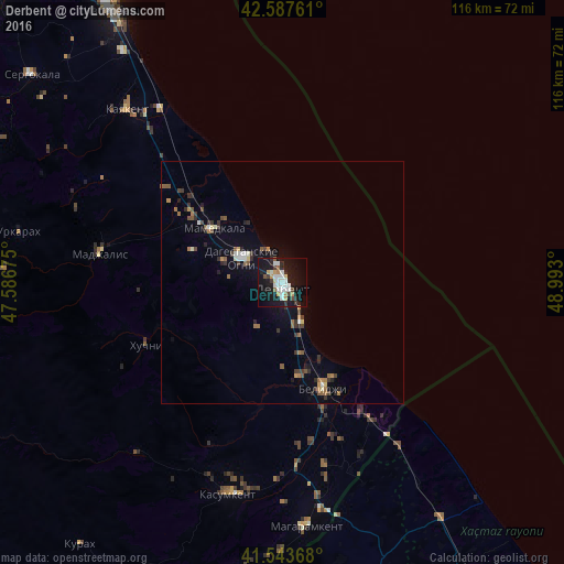
Analysis of Derbent night lights 2016
Square area 10x10 km:
 6.03%
6.03%90-99
7.3%80-89
1.59%70-79
3.33%60-69
2.06%50-59
1.27%40-49
2.22%30-39
2.86%20-29
5.08%10-19
41.75%0-9
26.51%Square area 50x50 km:
0.32%90-99
0.54%80-89
0.23%70-79
0.34%60-69
0.53%50-59
0.58%40-49
0.45%30-39
0.7%20-29
0.82%10-19
2.6%0-9
92.89%Clear (daylight) street map image can be seen on geolist.org.
Map coordinates:
42° 35' 15.4" North, 47° 35' 12.3" East
42° 4' 4" North, 48° 17' 23.5" East
41° 32' 37.2" North, 48° 59' 34.8" East
Some cities around Derbent sort by population:
• Dagestanskiye Ogni
9.7 km =6 mi,  303°
303°
• Belidzhi
22 km =13.7 mi,  152°
152°
• Kasumkent
45 km =28 mi,  195°
195°
• Kayakent
47.7 km =29.6 mi,  318°
318°
• Mamedkala
18.1 km =11.2 mi,  307°
307°
• Gedzhukh
19.7 km =12.2 mi,  289°
289°
• Madzhalis
38.1 km =23.7 mi,  279°
279°
• Novokayakent
44 km =27.3 mi,  325°
325°
566532 (p: 105,965)
Sources (retrieved 2019-11-25):
» NASA, Earths city lights 1995
» NASA city lights 2003
» Earth at Night: Flat Maps 2012, 2016