Shetpe night lights from space
Night Light of Shetpe (Mangghystaū) from space (Kazakhstan) Src. Average luminocity for 10x10km area is 4.8636% and for 50x50km: 0.2683%.
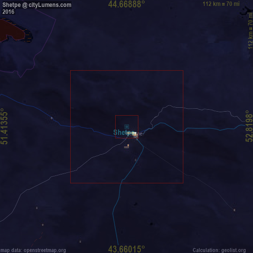
Analysis of Shetpe night lights 2016
Square area 10x10 km:
 0%
0%90-99
0.61%80-89
0.61%70-79
0.76%60-69
1.06%50-59
0.61%40-49
1.21%30-39
1.67%20-29
2.58%10-19
0%0-9
90.91%Square area 50x50 km:
0%90-99
0.02%80-89
0.02%70-79
0.03%60-69
0.06%50-59
0.03%40-49
0.05%30-39
0.07%20-29
0.19%10-19
0.04%0-9
99.48%Clear (daylight) street map image can be seen on geolist.org.
Map coordinates:
44° 40' 8" North, 51° 24' 48.8" East
44° 10' 0" North, 52° 7' 0" East
43° 39' 36.5" North, 52° 49' 11.3" East
Some cities around Shetpe sort by population:
• Aktau
95.3 km =59.2 mi,  232°
232°
• Zhanaozen
109.6 km =68.1 mi,  146°
146°
• Balykshi
323 km =200.7 mi,  356°
356°
• Beyneu
275 km =170.9 mi,  62°
62°
• Yeraliyev
115.1 km =71.5 mi,  197°
197°
• Zhetibay
63.7 km =39.6 mi,  182°
182°
• Qaraton
274 km =170.3 mi,  23°
23°
• Fort-Shevchenko
152.1 km =94.5 mi,  284°
284°
608324 (p: 11,836)
Sources (retrieved 2019-11-25):
» Earth at Night: Flat Maps 2012, 2016