Yeraliyev night lights from space
Night Light of Yeraliyev (Mangghystaū) from space (Kazakhstan) Src. Average luminocity for 10x10km area is 6.253% and for 50x50km: 0.4952%.
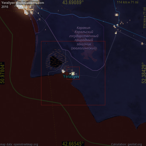
Analysis of Yeraliyev night lights 2016
Square area 10x10 km:
 0%
0%90-99
0.76%80-89
1.06%70-79
1.82%60-69
1.06%50-59
1.36%40-49
0%30-39
0.61%20-29
0%10-19
0.91%0-9
92.42%Square area 50x50 km:
0.08%90-99
0.08%80-89
0.04%70-79
0.1%60-69
0.06%50-59
0.07%40-49
0%30-39
0.1%20-29
0.03%10-19
0.04%0-9
99.41%Clear (daylight) street map image can be seen on geolist.org.
Map coordinates:
43° 41' 27.2" North, 50° 58' 40.9" East
43° 10' 49.2" North, 51° 40' 52.2" East
42° 39' 55.6" North, 52° 23' 3.4" East
Some cities around Yeraliyev sort by population:
• Aktau
66.7 km =41.4 mi,  321°
321°
• Zhanaozen
97.3 km =60.5 mi,  79°
79°
• Xaçmaz, AZ
303.8 km =188.8 mi,  231°
231°
• Belidzhi, RU
303.7 km =188.7 mi,  241°
241°
• Xudat, AZ
300.5 km =186.7 mi, 235°
• Shetpe
115.1 km =71.5 mi,  17°
17°
• Zhetibay
56.1 km =34.9 mi,  34°
34°
• Fort-Shevchenko
186.2 km =115.7 mi, 322°
609919 (p: 11,836)
Sources (retrieved 2019-11-25):
» Earth at Night: Flat Maps 2012, 2016