Fort-Shevchenko night lights from space
Night Light of Fort-Shevchenko (Mangghystaū) from space (Kazakhstan) Src. Average luminocity for 10x10km area is 9.6857% and for 50x50km: 0.7924%.
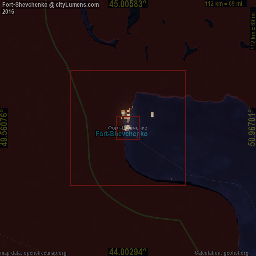
Analysis of Fort-Shevchenko night lights 2016
Square area 10x10 km:
 0%
0%90-99
0%80-89
2.54%70-79
0.63%60-69
1.9%50-59
3.17%40-49
0.48%30-39
2.7%20-29
0.63%10-19
4.44%0-9
83.49%Square area 50x50 km:
0.01%90-99
0.11%80-89
0.12%70-79
0.04%60-69
0.17%50-59
0.22%40-49
0.1%30-39
0.18%20-29
0.05%10-19
0.26%0-9
98.75%Clear (daylight) street map image can be seen on geolist.org.
Map coordinates:
45° 0' 21" North, 49° 33' 38.7" East
44° 30' 23.5" North, 50° 15' 50" East
44° 0' 10.6" North, 50° 58' 1.2" East
Some cities around Fort-Shevchenko sort by population:
• Aktau
119.5 km =74.3 mi,  142°
142°
• Zhanaozen
245.1 km =152.3 mi,  121°
121°
• Kamyzyak, RU
247.2 km =153.6 mi,  316°
316°
• Kaspiyskiy, RU
248.1 km =154.2 mi,  293°
293°
• Yeraliyev
186.2 km =115.7 mi, 142°
• Shetpe
152.1 km =94.5 mi,  104°
104°
• Zhetibay
177 km =110 mi, 124°
• Maloye Ganyushkino
245.4 km =152.5 mi,  341°
341°
609906 (p: 5,213)
Sources (retrieved 2019-11-25):
» Earth at Night: Flat Maps 2012, 2016