Zhanaozen night lights from space
Night Light of Zhanaozen (Mangghystaū) from space (Kazakhstan) Src. Average luminocity for 10x10km area is 51.0286% and for 50x50km: 2.7763%.
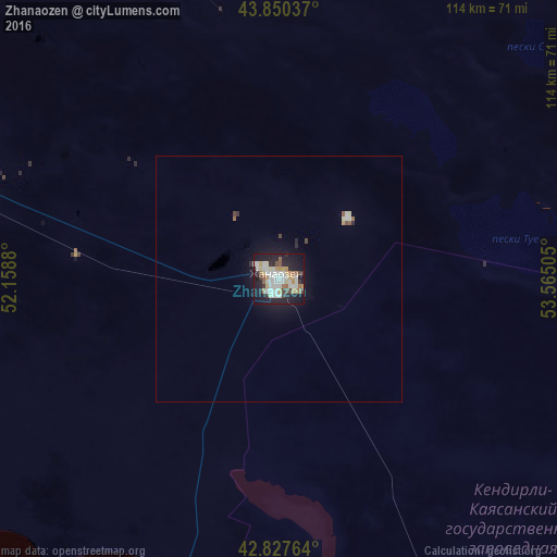
Analysis of Zhanaozen night lights 2016
Square area 10x10 km:
 9.52%
9.52%90-99
16.67%80-89
4.6%70-79
6.83%60-69
5.56%50-59
4.76%40-49
2.22%30-39
4.13%20-29
16.67%10-19
26.67%0-9
2.38%Square area 50x50 km:
0.4%90-99
0.73%80-89
0.23%70-79
0.31%60-69
0.26%50-59
0.27%40-49
0.18%30-39
0.21%20-29
0.79%10-19
2.36%0-9
94.26%Clear (daylight) street map image can be seen on geolist.org.
Map coordinates:
43° 51' 1.3" North, 52° 9' 31.7" East
43° 20' 28.2" North, 52° 51' 42.9" East
42° 49' 39.5" North, 53° 33' 54.2" East
Some cities around Zhanaozen sort by population:
• Aktau
141 km =87.6 mi,  284°
284°
• Türkmenbaşy, TM
369.1 km =229.3 mi,  178°
178°
• Beyneu
287.8 km =178.8 mi,  40°
40°
• Shetpe
109.6 km =68.1 mi,  326°
326°
• Yeraliyev
97.3 km =60.5 mi,  259°
259°
• Zhetibay
69.2 km =43 mi,  293°
293°
• Qaraton
347.5 km =215.9 mi,  8°
8°
• Fort-Shevchenko
245.1 km =152.3 mi,  301°
301°
607610 (p: 103,598)
Sources (retrieved 2019-11-25):
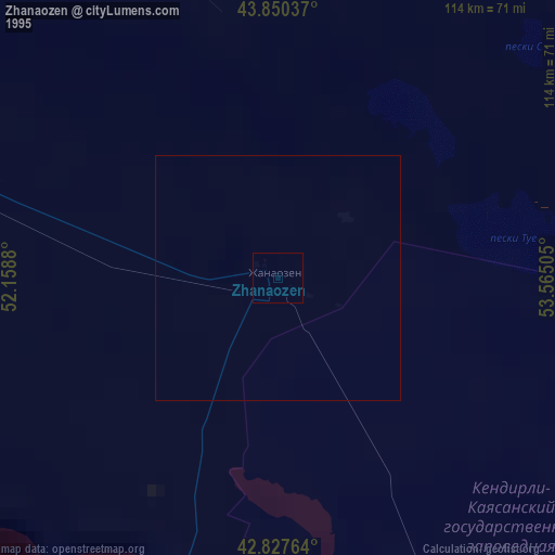
» NASA, Earths city lights 1995
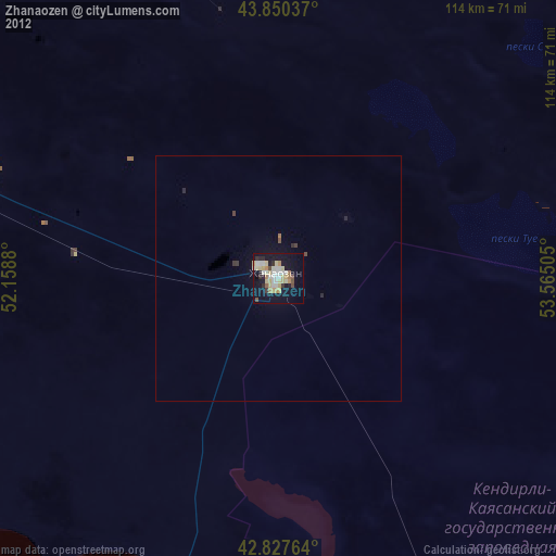
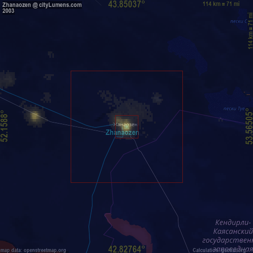
» NASA city lights 2003
» Earth at Night: Flat Maps 2012, 2016