Shalqar night lights from space
Night Light of Shalqar (Aqtöbe) from space (Kazakhstan) Src. Average luminocity for 10x10km area is 7.192% and for 50x50km: 0.2812%.
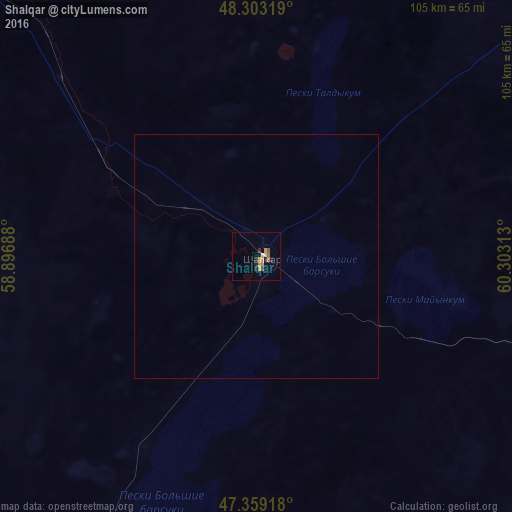
Analysis of Shalqar night lights 2016
Square area 10x10 km:
 0.15%
0.15%90-99
0.6%80-89
0.74%70-79
3.27%60-69
1.04%50-59
0.89%40-49
0.45%30-39
0.15%20-29
2.38%10-19
1.64%0-9
88.69%Square area 50x50 km:
0.01%90-99
0.02%80-89
0.03%70-79
0.12%60-69
0.04%50-59
0.03%40-49
0.02%30-39
0.01%20-29
0.09%10-19
0.06%0-9
99.57%Clear (daylight) street map image can be seen on geolist.org.
Map coordinates:
48° 18' 11.5" North, 58° 53' 48.8" East
47° 49' 60" North, 59° 36' 0" East
47° 21' 33" North, 60° 18' 11.3" East
Some cities around Shalqar sort by population:
• Aral
193.6 km =120.3 mi,  126°
126°
• Kandyagash
242.4 km =150.6 mi,  318°
318°
• Khromtau
281.8 km =175.1 mi,  342°
342°
• Embi
154.1 km =95.8 mi, 315°
• Shubarkuduk
272.1 km =169.1 mi,  302°
302°
• Sekseūil
143 km =88.9 mi, 125°
• Shubarshi
197.4 km =122.7 mi,  294°
294°
• Bayganin
291.7 km =181.3 mi, 289°
608359 (p: 27,399)
Sources (retrieved 2019-11-25):
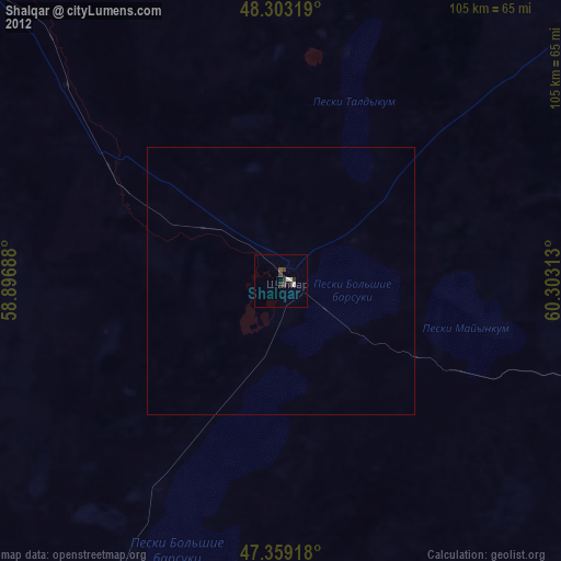
» Earth at Night: Flat Maps 2012, 2016