Sekseūil night lights from space
Night Light of Sekseūil (Qyzylorda) from space (Kazakhstan) Src. Average luminocity for 10x10km area is 1.6847% and for 50x50km: 0.0747%.
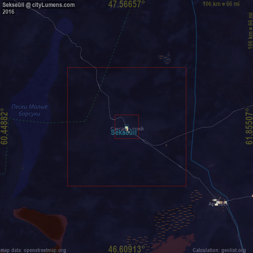
Analysis of Sekseūil night lights 2016
Square area 10x10 km:
 0%
0%90-99
0%80-89
0.99%70-79
0.43%60-69
0.28%50-59
0%40-49
0%30-39
0.57%20-29
0%10-19
0%0-9
97.73%Square area 50x50 km:
0%90-99
0%80-89
0.04%70-79
0.02%60-69
0.01%50-59
0%40-49
0%30-39
0.02%20-29
0%10-19
0.02%0-9
99.88%Clear (daylight) street map image can be seen on geolist.org.
Map coordinates:
47° 33' 59.7" North, 60° 26' 55.8" East
47° 5' 24" North, 61° 9' 7" East
46° 36' 32.9" North, 61° 51' 18.3" East
Some cities around Sekseūil sort by population:
• Baikonur
233.3 km =145 mi,  134°
134°
• Ayteke Bi
158.1 km =98.2 mi,  151°
151°
• Aral
50.7 km =31.5 mi, 129°
• Shalqar
143 km =88.9 mi,  305°
305°
• Zhosaly
286.8 km =178.2 mi, 128°
• Embi
295.5 km =183.6 mi, 310°
• Tyuratam
230.4 km =143.2 mi, 134°
• Qazaly
164.7 km =102.3 mi, 153°
1519776 (p: 9,296)
Sources (retrieved 2019-11-25):
» Earth at Night: Flat Maps 2012, 2016