Shubarkuduk night lights from space
Night Light of Shubarkuduk (Aqtöbe) from space (Kazakhstan) Src. Average luminocity for 10x10km area is 0.5182% and for 50x50km: 0.0316%.
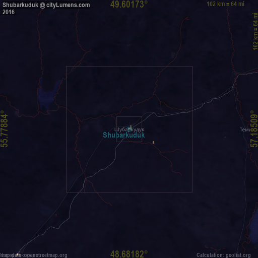
Analysis of Shubarkuduk night lights 2016
Square area 10x10 km:
 0%
0%90-99
0%80-89
0%70-79
0%60-69
0%50-59
0%40-49
0%30-39
0.56%20-29
1.12%10-19
0%0-9
98.32%Square area 50x50 km:
0%90-99
0%80-89
0%70-79
0%60-69
0%50-59
0.02%40-49
0%30-39
0.02%20-29
0.04%10-19
0%0-9
99.91%Clear (daylight) street map image can be seen on geolist.org.
Map coordinates:
49° 36' 6.2" North, 55° 46' 43.8" East
49° 8' 38.1" North, 56° 28' 55.1" East
48° 40' 54.6" North, 57° 11' 6.3" East
Some cities around Shubarkuduk sort by population:
• Aktobe
136.6 km =84.9 mi,  22°
22°
• Kandyagash
77 km =47.8 mi,  61°
61°
• Khromtau
187 km =116.2 mi,  48°
48°
• Embi
126.6 km =78.7 mi,  106°
106°
• Martuk
178.3 km =110.8 mi,  0°
0°
• Bayganin
67.2 km =41.8 mi,  221°
221°
• Miyaly
198.3 km =123.2 mi,  261°
261°
• Batamshinskiy
203.4 km =126.4 mi,  39°
39°
608271 (p: 11,733)
Sources (retrieved 2019-11-25):
» Earth at Night: Flat Maps 2012, 2016