Kandyagash night lights from space
Night Light of Kandyagash (Aqtöbe) from space (Kazakhstan) Src. Average luminocity for 10x10km area is 6.972% and for 50x50km: 0.2857%.
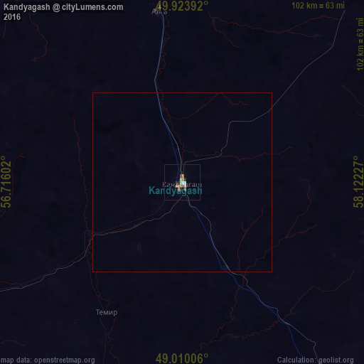
Analysis of Kandyagash night lights 2016
Square area 10x10 km:
 0.42%
0.42%90-99
0.7%80-89
0.7%70-79
0.98%60-69
1.82%50-59
1.96%40-49
0.7%30-39
0.56%20-29
1.82%10-19
0.42%0-9
89.92%Square area 50x50 km:
0.02%90-99
0.03%80-89
0.03%70-79
0.04%60-69
0.07%50-59
0.08%40-49
0.03%30-39
0.02%20-29
0.07%10-19
0.02%0-9
99.59%Clear (daylight) street map image can be seen on geolist.org.
Map coordinates:
49° 55' 26.1" North, 56° 42' 57.7" East
49° 28' 8.8" North, 57° 25' 8.9" East
49° 0' 36.2" North, 58° 7' 20.2" East
Some cities around Kandyagash sort by population:
• Aktobe
91.4 km =56.8 mi,  350°
350°
• Khromtau
113.6 km =70.6 mi,  40°
40°
• Embi
88.8 km =55.2 mi,  143°
143°
• Shubarkuduk
77 km =47.8 mi,  241°
241°
• Shubarshi
100.3 km =62.3 mi,  189°
189°
• Martuk
156.3 km =97.1 mi,  335°
335°
• Bayganin
142 km =88.2 mi,  232°
232°
• Batamshinskiy
135.9 km =84.4 mi,  26°
26°
608679 (p: 28,196)
Sources (retrieved 2019-11-25):
» Earth at Night: Flat Maps 2012, 2016