Embi night lights from space
Night Light of Embi (Aqtöbe) from space (Kazakhstan) Src. Average luminocity for 10x10km area is 1.5511% and for 50x50km: 0.0882%.
Analysis of Embi night lights 2016
Square area 10x10 km:
 0%
0%90-99
0%80-89
0%70-79
0.14%60-69
1.56%50-59
0%40-49
0.57%30-39
0%20-29
0%10-19
0.57%0-9
97.16%Square area 50x50 km:
0%90-99
0%80-89
0%70-79
0.01%60-69
0.08%50-59
0%40-49
0.05%30-39
0%20-29
0%10-19
0.02%0-9
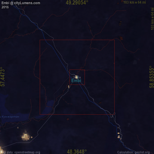
99.84%Clear (daylight) street map image can be seen on geolist.org.
Map coordinates:
49° 17' 25.9" North, 57° 26' 50.3" East
48° 49' 47.3" North, 58° 9' 1.5" East
48° 21' 53.3" North, 58° 51' 12.8" East
Some cities around Embi sort by population:
• Aktobe
175 km =108.7 mi,  337°
337°
• Kandyagash
88.8 km =55.2 mi,  323°
323°
• Shalqar
154.1 km =95.8 mi,  135°
135°
• Khromtau
159.4 km =99 mi,  7°
7°
• Shubarkuduk
126.6 km =78.7 mi,  286°
286°
• Shubarshi
76.2 km =47.3 mi,  248°
248°
• Bayganin
167.5 km =104.1 mi,  264°
264°
• Batamshinskiy
192.6 km =119.7 mi,  2°
2°
609924 (p: 18,760)
Sources (retrieved 2019-11-25):
» Earth at Night: Flat Maps 2012, 2016