Bayganin night lights from space
Night Light of Bayganin (Aqtöbe) from space (Kazakhstan) Src. Average luminocity for 10x10km area is 0.6161% and for 50x50km: 0.0232%.
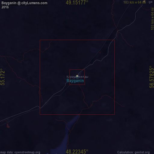
Analysis of Bayganin night lights 2016
Square area 10x10 km:
 0%
0%90-99
0%80-89
0%70-79
0.6%60-69
0%50-59
0%40-49
0%30-39
0%20-29
0.6%10-19
0%0-9
98.81%Square area 50x50 km:
0%90-99
0%80-89
0%70-79
0.02%60-69
0%50-59
0%40-49
0%30-39
0%20-29
0.02%10-19
0%0-9
99.96%Clear (daylight) street map image can be seen on geolist.org.
Map coordinates:
49° 9' 6.4" North, 55° 10' 19.2" East
48° 41' 23.1" North, 55° 52' 30.4" East
48° 13' 24.4" North, 56° 34' 41.7" East
Some cities around Bayganin sort by population:
• Aktobe
201.3 km =125.1 mi,  28°
28°
• Kandyagash
142 km =88.2 mi,  52°
52°
• Embi
167.5 km =104.1 mi,  84°
84°
• Maqat
222.2 km =138.1 mi,  238°
238°
• Shubarkuduk
67.2 km =41.8 mi,  41°
41°
• Shubarshi
96.9 km =60.2 mi,  97°
97°
• Martuk
233.2 km =144.9 mi,  11°
11°
• Miyaly
154.1 km =95.8 mi,  278°
278°
610386 (p: 7,657)
Sources (retrieved 2019-11-25):
» Earth at Night: Flat Maps 2012, 2016