Khromtau night lights from space
Night Light of Khromtau (Aqtöbe) from space (Kazakhstan) Src. Average luminocity for 10x10km area is 16.9024% and for 50x50km: 0.9053%.

Analysis of Khromtau night lights 2016
Square area 10x10 km:
 2.14%
2.14%90-99
3.88%80-89
2.41%70-79
1.47%60-69
1.87%50-59
1.6%40-49
1.47%30-39
1.2%20-29
0%10-19
14.97%0-9
68.98%Square area 50x50 km:
0.11%90-99
0.17%80-89
0.14%70-79
0.08%60-69
0.08%50-59
0.07%40-49
0.08%30-39
0.11%20-29
0.07%10-19
0.63%0-9
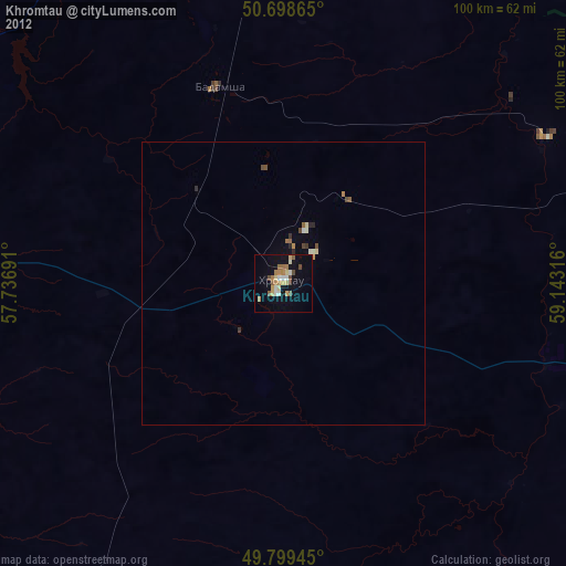
98.45%Clear (daylight) street map image can be seen on geolist.org.
Map coordinates:
50° 41' 55.1" North, 57° 44' 12.9" East
50° 15' 4.2" North, 58° 26' 24.1" East
49° 47' 58" North, 59° 8' 35.4" East
Some cities around Khromtau sort by population:
• Aktobe
87.7 km =54.5 mi,  272°
272°
• Orsk, RU
106.4 km =66.1 mi,  4°
4°
• Novotroitsk, RU
106.1 km =65.9 mi,  355°
355°
• Kandyagash
113.6 km =70.6 mi,  220°
220°
• Yasnyy, RU
133.4 km =82.9 mi,  49°
49°
• Novoorsk, RU
131.3 km =81.6 mi,  16°
16°
• Dombarovskiy, RU
96 km =59.7 mi, 54°
• Batamshinskiy
36.2 km =22.5 mi,  341°
341°
609404 (p: 23,715)
Sources (retrieved 2019-11-25):
» Earth at Night: Flat Maps 2012, 2016