Aral night lights from space
Night Light of Aral (Qyzylorda) from space (Kazakhstan) Src. Average luminocity for 10x10km area is 7.0045% and for 50x50km: 0.3156%.

Analysis of Aral night lights 2016
Square area 10x10 km:
 0.74%
0.74%90-99
1.79%80-89
1.64%70-79
0%60-69
0.6%50-59
1.19%40-49
0%30-39
0.3%20-29
1.34%10-19
2.53%0-9
89.88%Square area 50x50 km:
0.03%90-99
0.07%80-89
0.07%70-79
0%60-69
0.05%50-59
0.05%40-49
0.02%30-39
0.01%20-29
0.05%10-19
0.12%0-9
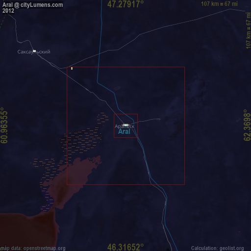
99.53%Clear (daylight) street map image can be seen on geolist.org.
Map coordinates:
47° 16' 45" North, 60° 57' 48.8" East
46° 48' 0" North, 61° 40' 0" East
46° 18' 59.5" North, 62° 22' 11.3" East
Some cities around Aral sort by population:
• Baikonur
182.8 km =113.6 mi,  136°
136°
• Ayteke Bi
112.4 km =69.8 mi,  160°
160°
• Shalqar
193.6 km =120.3 mi,  306°
306°
• Zhosaly
236.2 km =146.8 mi,  128°
128°
• Dzhalagash
300.4 km =186.7 mi, 129°
• Tyuratam
179.9 km =111.8 mi, 135°
• Sekseūil
50.7 km =31.5 mi, 309°
• Qazaly
120.2 km =74.7 mi, 163°
1526265 (p: 33,017)
Sources (retrieved 2019-11-25):
» Earth at Night: Flat Maps 2012, 2016