Izberbash night lights from space
Night Light of Izberbash (Dagestan) from space (Russia) Src. Average luminocity for 10x10km area is 24.1238% and for 50x50km: 3.4314%.
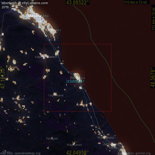
Analysis of Izberbash night lights 2016
Square area 10x10 km:
 3.49%
3.49%90-99
4.76%80-89
2.38%70-79
3.17%60-69
3.33%50-59
1.75%40-49
2.54%30-39
2.7%20-29
2.54%10-19
27.62%0-9
45.71%Square area 50x50 km:
0.28%90-99
0.67%80-89
0.41%70-79
0.38%60-69
0.42%50-59
0.46%40-49
0.37%30-39
0.41%20-29
0.41%10-19
1.59%0-9
94.59%Clear (daylight) street map image can be seen on geolist.org.
Map coordinates:
43° 5' 6.8" North, 47° 9' 40.9" East
42° 34' 10.4" North, 47° 51' 52.1" East
42° 2' 58.5" North, 48° 34' 3.4" East
Some cities around Izberbash sort by population:
• Kaspiysk
39.3 km =24.4 mi,  332°
332°
• Karabudakhkent
28.8 km =17.9 mi,  302°
302°
• Kayakent
20.5 km =12.7 mi,  171°
171°
• Sergokala
21 km =13 mi,  232°
232°
• Gubden
24.5 km =15.2 mi,  269°
269°
• Novyy Khushet
44.3 km =27.5 mi, 325°
• Novokayakent
22 km =13.7 mi,  152°
152°
• Manas
23.2 km =14.4 mi,  319°
319°
554894 (p: 42,121)
Sources (retrieved 2019-11-25):
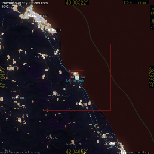
» Earth at Night: Flat Maps 2012, 2016