Novokayakent night lights from space
Night Light of Novokayakent (Dagestan) from space (Russia) Src. Average luminocity for 10x10km area is 5.6063% and for 50x50km: 2.5061%.
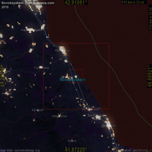
Analysis of Novokayakent night lights 2016
Square area 10x10 km:
 0%
0%90-99
0.63%80-89
1.75%70-79
0.48%60-69
0.63%50-59
0.63%40-49
0.79%30-39
0.16%20-29
2.38%10-19
0.48%0-9
92.06%Square area 50x50 km:
0.16%90-99
0.3%80-89
0.28%70-79
0.31%60-69
0.42%50-59
0.35%40-49
0.45%30-39
0.53%20-29
0.56%10-19
1.29%0-9
95.35%Clear (daylight) street map image can be seen on geolist.org.
Map coordinates:
42° 54' 38.9" North, 47° 16' 58.7" East
42° 23' 37.2" North, 47° 59' 9.9" East
41° 52' 20.1" North, 48° 41' 21.2" East
Some cities around Novokayakent sort by population:
• Izberbash
22 km =13.7 mi,  332°
332°
• Dagestanskiye Ogni
35.2 km =21.9 mi,  151°
151°
• Kayakent
6.9 km =4.3 mi,  264°
264°
• Mamedkala
27.3 km =17 mi,  156°
156°
• Sergokala
27.5 km =17.1 mi,  284°
284°
• Gedzhukh
30.3 km =18.8 mi,  167°
167°
• Madzhalis
32.8 km =20.4 mi,  202°
202°
• Urkarakh
38.9 km =24.2 mi,  228°
228°
518764 (p: 5,991)
Sources (retrieved 2019-11-25):
» Earth at Night: Flat Maps 2012, 2016