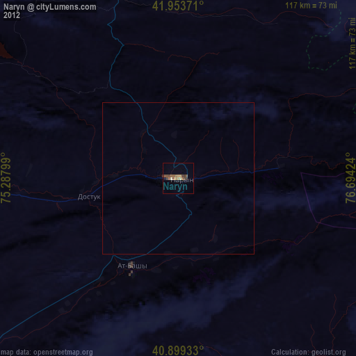
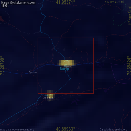
Naryn night lights from space
Night Light of Naryn from space (Kyrgyzstan) Src. Average luminocity for 10x10km area is 3.8299% and for 50x50km: 0.2085%.


Analysis of Naryn night lights 2016
Square area 10x10 km:
 0%
0%90-99
0%80-89
0%70-79
0.68%60-69
0.17%50-59
1.87%40-49
1.36%30-39
1.36%20-29
2.04%10-19
0.17%0-9
92.35%Square area 50x50 km:
0%90-99
0%80-89
0%70-79
0.03%60-69
0.02%50-59
0.11%40-49
0.05%30-39
0.08%20-29
0.12%10-19
0.01%0-9
99.58%Clear (daylight) street map image can be seen on geolist.org.
Map coordinates:
41° 57' 13.4" North, 75° 17' 16.8" East
41° 25' 43.2" North, 75° 59' 28" East
40° 53' 57.6" North, 76° 41' 39.3" East
Some cities around Naryn sort by population:
• Bishkek
197.5 km =122.7 mi,  324°
324°
• Tokmok
167.1 km =103.8 mi,  340°
340°
• Balykchy
115.8 km =72 mi,  8°
8°
• Kant
187.8 km =116.7 mi,  329°
329°
• Cholpon-Ata
162.9 km =101.2 mi,  33°
33°
• Kyzyl-Suu
195.3 km =121.4 mi,  58°
58°
• At-Bashi
32.9 km =20.4 mi,  208°
208°
• Kemin
152.9 km =95 mi,  350°
350°
1527592 (p: 52,300)
Sources (retrieved 2019-11-25):
» NASA, Earths city lights 1995
» NASA city lights 2003
» Earth at Night: Flat Maps 2012, 2016