Tokmok night lights from space
Night Light of Tokmok (Chüy) from space (Kyrgyzstan) Src. Average luminocity for 10x10km area is 23.4746% and for 50x50km: 1.5896%.
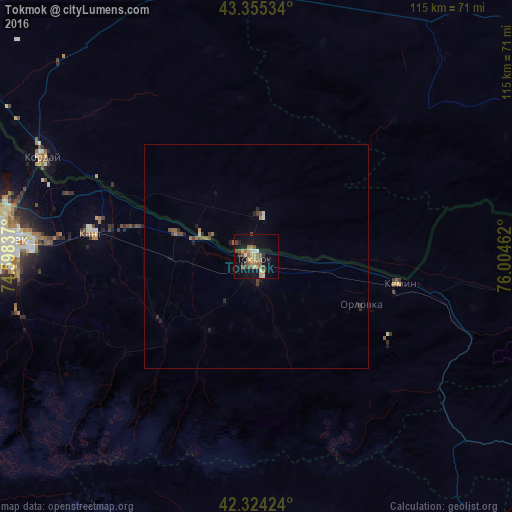
Analysis of Tokmok night lights 2016
Square area 10x10 km:
 0.79%
0.79%90-99
2.54%80-89
3.49%70-79
3.81%60-69
5.24%50-59
5.24%40-49
5.56%30-39
1.27%20-29
0.79%10-19
22.38%0-9
48.89%Square area 50x50 km:
0.04%90-99
0.17%80-89
0.14%70-79
0.2%60-69
0.35%50-59
0.32%40-49
0.4%30-39
0.15%20-29
0.3%10-19
1.09%0-9
96.84%Clear (daylight) street map image can be seen on geolist.org.
Map coordinates:
43° 21' 19.2" North, 74° 35' 54.1" East
42° 50' 31" North, 75° 18' 5.4" East
42° 19' 27.3" North, 76° 0' 16.6" East
Some cities around Tokmok sort by population:
• Bishkek
58.1 km =36.1 mi,  273°
273°
• Kara-Balta
118.6 km =73.7 mi, 268°
• Balykchy
83.9 km =52.1 mi,  120°
120°
• Kant
37.1 km =23.1 mi,  278°
278°
• Chemolgan, KZ
122.7 km =76.2 mi,  61°
61°
• Kemin
32.4 km =20.1 mi,  101°
101°
• Georgiyevka, KZ
52.7 km =32.7 mi,  294°
294°
• Sosnovka
117 km =72.7 mi,  258°
258°
1527199 (p: 63,047)
Sources (retrieved 2019-11-25):
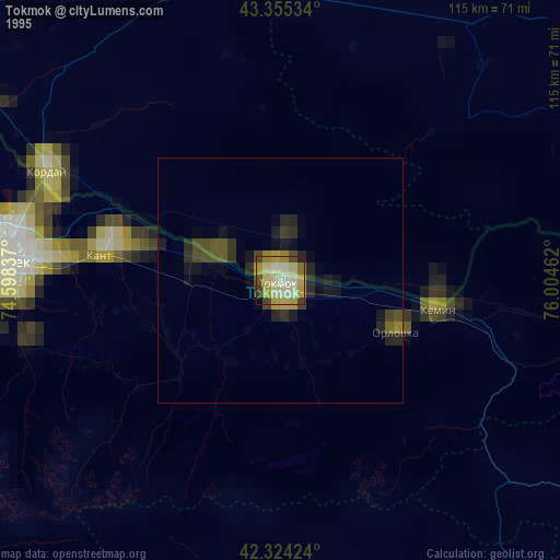
» NASA, Earths city lights 1995
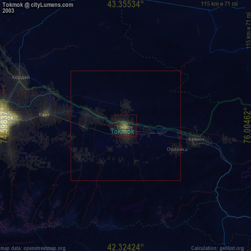
» NASA city lights 2003
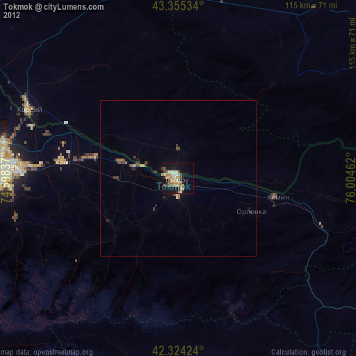
» Earth at Night: Flat Maps 2012, 2016