Kyzyl-Suu night lights from space
Night Light of Kyzyl-Suu (Issyk-Kul) from space (Kyrgyzstan) Src. Average luminocity for 10x10km area is 0.3% and for 50x50km: 0.0318%.
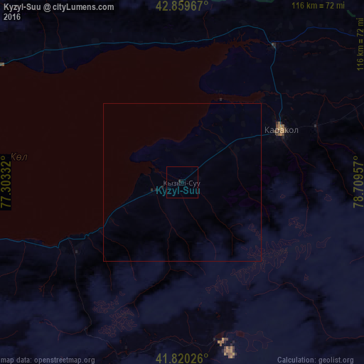
Analysis of Kyzyl-Suu night lights 2016
Square area 10x10 km:
 0%
0%90-99
0%80-89
0%70-79
0%60-69
0%50-59
0%40-49
0%30-39
0.63%20-29
0%10-19
0.16%0-9
99.21%Square area 50x50 km:
0%90-99
0%80-89
0%70-79
0%60-69
0%50-59
0%40-49
0%30-39
0.03%20-29
0.06%10-19
0.03%0-9
99.89%Clear (daylight) street map image can be seen on geolist.org.
Map coordinates:
42° 51' 34.8" North, 77° 18' 12" East
42° 20' 31.6" North, 78° 0' 23.2" East
41° 49' 12.9" North, 78° 42' 34.5" East
Some cities around Kyzyl-Suu sort by population:
• Karakol
35.8 km =22.2 mi,  62°
62°
• Talghar, KZ
123.8 km =76.9 mi,  329°
329°
• Esik, KZ
121.4 km =75.4 mi,  338°
338°
• Cholpon-Ata
83.1 km =51.6 mi,  294°
294°
• Tyup
52 km =32.3 mi,  34°
34°
• Turgen, KZ
122.4 km =76.1 mi, 344°
• Ak-Suu
46.2 km =28.7 mi,  67°
67°
• Kegen, KZ
124.7 km =77.5 mi,  52°
52°
1527497 (p: 16,927)
Sources (retrieved 2019-11-25):
» Earth at Night: Flat Maps 2012, 2016