Balykchy night lights from space
Night Light of Balykchy (Issyk-Kul) from space (Kyrgyzstan) Src. Average luminocity for 10x10km area is 9.6222% and for 50x50km: 0.4211%.
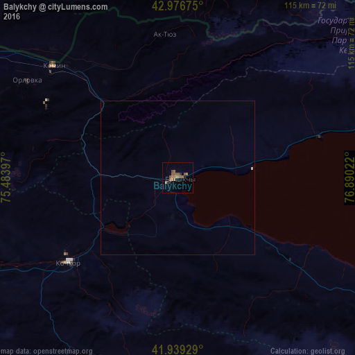
Analysis of Balykchy night lights 2016
Square area 10x10 km:
 0%
0%90-99
0%80-89
0%70-79
1.59%60-69
3.97%50-59
5.71%40-49
0.79%30-39
0.79%20-29
1.75%10-19
0.63%0-9
84.76%Square area 50x50 km:
0%90-99
0.03%80-89
0%70-79
0.06%60-69
0.16%50-59
0.23%40-49
0.03%30-39
0.03%20-29
0.07%10-19
0.03%0-9
99.36%Clear (daylight) street map image can be seen on geolist.org.
Map coordinates:
42° 58' 36.3" North, 75° 29' 2.3" East
42° 27' 36.6" North, 76° 11' 13.5" East
41° 56' 21.4" North, 76° 53' 24.8" East
Some cities around Balykchy sort by population:
• Almaty, KZ
107.2 km =66.6 mi,  34°
34°
• Tokmok
83.9 km =52.1 mi,  300°
300°
• Naryn
115.8 km =72 mi,  188°
188°
• Burunday, KZ
113.4 km =70.5 mi, 28°
• Cholpon-Ata
76.3 km =47.4 mi,  73°
73°
• Chemolgan, KZ
107.9 km =67 mi,  19°
19°
• Kemin
54.4 km =33.8 mi,  311°
311°
• Pervomayka, KZ
118.6 km =73.7 mi, 31°
1527004 (p: 40,000)
Sources (retrieved 2019-11-25):
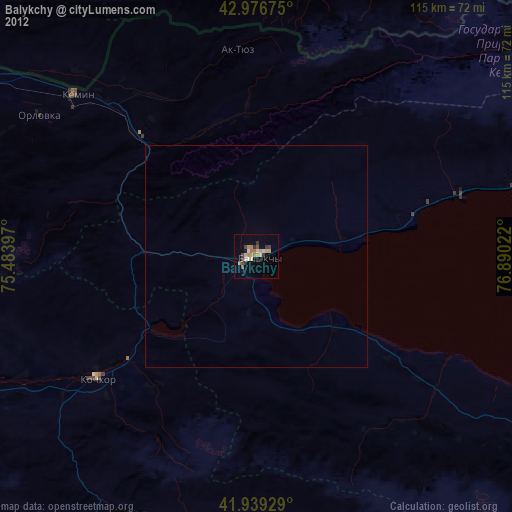
» Earth at Night: Flat Maps 2012, 2016