At-Bashi night lights from space
Night Light of At-Bashi (Naryn) from space (Kyrgyzstan) Src. Average luminocity for 10x10km area is 1.3734% and for 50x50km: 0.0545%.
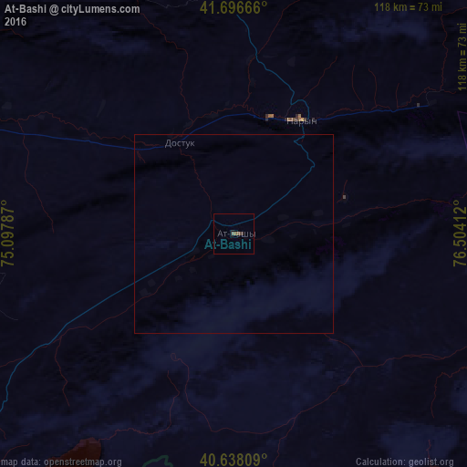
Analysis of At-Bashi night lights 2016
Square area 10x10 km:
 0%
0%90-99
0%80-89
0%70-79
0%60-69
0%50-59
1.3%40-49
0.65%30-39
0.65%20-29
0%10-19
0%0-9
97.4%Square area 50x50 km:
0%90-99
0%80-89
0%70-79
0%60-69
0%50-59
0.05%40-49
0.03%30-39
0.03%20-29
0%10-19
0%0-9
99.9%Clear (daylight) street map image can be seen on geolist.org.
Map coordinates:
41° 41' 48" North, 75° 5' 52.3" East
41° 10' 10.2" North, 75° 48' 3.6" East
40° 38' 17.1" North, 76° 30' 14.8" East
Some cities around At-Bashi sort by population:
• Bishkek
213.9 km =132.9 mi,  332°
332°
• Kashgar, CN
189.6 km =117.8 mi,  175°
175°
• Tokmok
190.5 km =118.4 mi,  347°
347°
• Naryn
32.9 km =20.4 mi,  28°
28°
• Balykchy
147 km =91.3 mi,  12°
12°
• Kant
206.9 km =128.6 mi,  337°
337°
• Cholpon-Ata
195.7 km =121.6 mi, 32°
• Kemin
180 km =111.8 mi,  357°
357°
1528796 (p: 15,226)
Sources (retrieved 2019-11-25):
» Earth at Night: Flat Maps 2012, 2016