Kemin night lights from space
Night Light of Kemin (Chüy) from space (Kyrgyzstan) Src. Average luminocity for 10x10km area is 2.6348% and for 50x50km: 0.1929%.
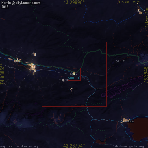
Analysis of Kemin night lights 2016
Square area 10x10 km:
 0%
0%90-99
0%80-89
0%70-79
1.52%60-69
0.3%50-59
0.61%40-49
0%30-39
1.82%20-29
0%10-19
0%0-9
95.76%Square area 50x50 km:
0%90-99
0.03%80-89
0%70-79
0.06%60-69
0.01%50-59
0.05%40-49
0%30-39
0.11%20-29
0.09%10-19
0.03%0-9
99.62%Clear (daylight) street map image can be seen on geolist.org.
Map coordinates:
43° 17' 59.9" North, 74° 59' 18.8" East
42° 47' 10" North, 75° 41' 30" East
42° 16' 4.6" North, 76° 23' 41.3" East
Some cities around Kemin sort by population:
• Almaty, KZ
113.3 km =70.4 mi,  62°
62°
• Bishkek
90.3 km =56.1 mi,  275°
275°
• Tokmok
32.4 km =20.1 mi, 281°
• Balykchy
54.4 km =33.8 mi,  131°
131°
• Burunday, KZ
113.7 km =70.6 mi, 56°
• Kant
69.5 km =43.2 mi, 279°
• Chemolgan, KZ
100.2 km =62.3 mi,  49°
49°
• Georgiyevka, KZ
84.5 km =52.5 mi,  289°
289°
1528606 (p: 10,295)
Sources (retrieved 2019-11-25):
» Earth at Night: Flat Maps 2012, 2016