Kashgar night lights from space
Night Light of Kashgar (Xinjiang) from space (China) Src. Average luminocity for 10x10km area is 65.0646% and for 50x50km: 6.3728%.
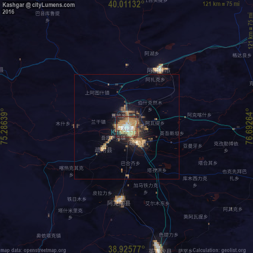
Analysis of Kashgar night lights 2016
Square area 10x10 km:
 7.65%
7.65%90-99
11.05%80-89
9.69%70-79
29.76%60-69
9.18%50-59
5.1%40-49
6.12%30-39
7.14%20-29
10.03%10-19
4.25%0-9
0%Square area 50x50 km:
0.29%90-99
0.45%80-89
0.47%70-79
2.27%60-69
1.25%50-59
0.75%40-49
0.85%30-39
1.31%20-29
2.1%10-19
3.67%0-9
86.61%Clear (daylight) street map image can be seen on geolist.org.
Map coordinates:
40° 0' 40.8" North, 75° 17' 11" East
39° 28' 14.4" North, 75° 59' 22.2" East
38° 55' 32.8" North, 76° 41' 33.5" East
Some cities around Kashgar sort by population:
• Osh, KG
296.1 km =184 mi,  293°
293°
• Shache
159.5 km =99.1 mi,  137°
137°
• Naryn, KG
217.7 km =135.3 mi,  0°
0°
• Uzgen, KG
270.4 km =168 mi,  302°
302°
• Kara Suu, KG
299 km =185.8 mi, 297°
• At-Bashi, KG
189.6 km =117.8 mi,  355°
355°
• Nookat, KG
301 km =187 mi, 287°
• Murghob, TJ
227.2 km =141.2 mi,  230°
230°
1280849 (p: 274,717)
Sources (retrieved 2019-11-25):
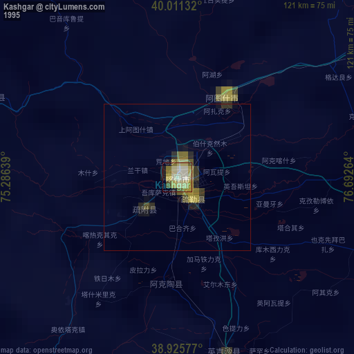
» NASA, Earths city lights 1995
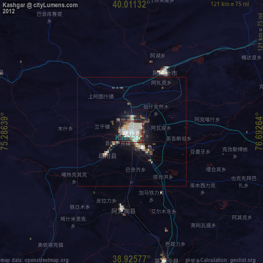
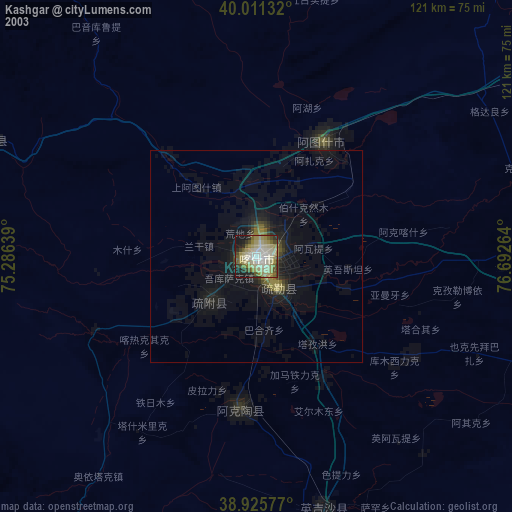
» NASA city lights 2003
» Earth at Night: Flat Maps 2012, 2016