Eldama Ravine night lights from space
Night Light of Eldama Ravine (Baringo) from space (Kenya) Src. Average luminocity for 10x10km area is 0.7532% and for 50x50km: 0.1065%.
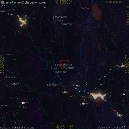
Analysis of Eldama Ravine night lights 2016
Square area 10x10 km:
 0%
0%90-99
0%80-89
0.87%70-79
0%60-69
0%50-59
0%40-49
0%30-39
0%20-29
0%10-19
0%0-9
99.13%Square area 50x50 km:
0%90-99
0%80-89
0.03%70-79
0%60-69
0%50-59
0%40-49
0.1%30-39
0%20-29
0.03%10-19
0.05%0-9
99.78%Clear (daylight) street map image can be seen on geolist.org.
Map coordinates:
0° 45' 18.2" North, 35° 1' 27.2" East
0° 3' 7.1" North, 35° 43' 38.4" East
0° 39' 4.1" South, 36° 25' 49.7" East
Some cities around Eldama Ravine sort by population:
• Nakuru
55.4 km =34.4 mi,  136°
136°
• Kericho
67.9 km =42.2 mi,  226°
226°
• Nyahururu
70.7 km =43.9 mi,  91°
91°
• Rongai
29.3 km =18.2 mi,  148°
148°
• Molo
33.4 km =20.8 mi,  179°
179°
• Kabarnet
49 km =30.4 mi,  2°
2°
• Muhoroni
63.5 km =39.5 mi,  248°
248°
• Baringo
53.2 km =33.1 mi,  29°
29°
198636 (p: 12,524)
Sources (retrieved 2019-11-25):
» Earth at Night: Flat Maps 2012, 2016