Baringo night lights from space
Night Light of Baringo from space (Kenya) Src. Average luminocity for 10x10km area is 0.1558% and for 50x50km: 0.0247%.
Analysis of Baringo night lights 2016
Square area 10x10 km:
 0%
0%90-99
0%80-89
0%70-79
0%60-69
0%50-59
0%40-49
0%30-39
0%20-29
0%10-19
0.87%0-9
99.13%Square area 50x50 km:
0%90-99
0%80-89
0.02%70-79
0%60-69
0%50-59
0%40-49
0%30-39
0%20-29
0%10-19
0.07%0-9
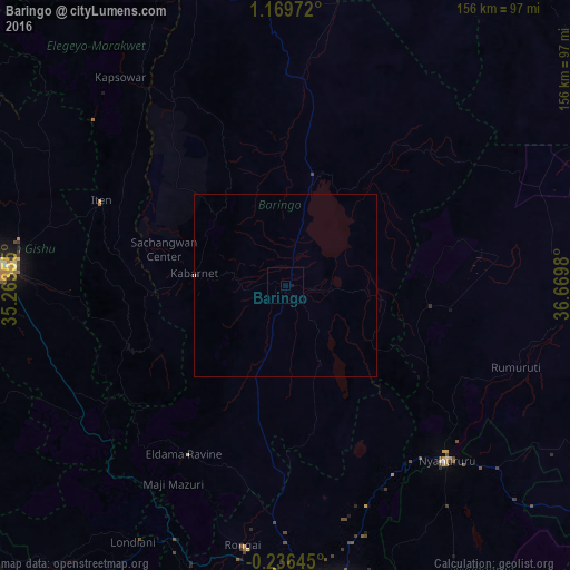
99.91%Clear (daylight) street map image can be seen on geolist.org.
Map coordinates:
1° 10' 11" North, 35° 15' 48.8" East
0° 28' 0" North, 35° 58' 0" East
0° 14' 11.2" South, 36° 40' 11.3" East
Some cities around Baringo sort by population:
• Eldoret
77.7 km =48.3 mi,  274°
274°
• Iten
55.8 km =34.7 mi,  293°
293°
• Nyahururu
64.9 km =40.3 mi,  137°
137°
• Rongai
72.1 km =44.8 mi,  189°
189°
• Kabarnet
25 km =15.5 mi,  276°
276°
• Eldama Ravine
53.2 km =33.1 mi,  209°
209°
• Kapsowar
72.8 km =45.2 mi,  321°
321°
• Rumuruti
67.1 km =41.7 mi,  108°
108°
200575 (p: 7,656)
Sources (retrieved 2019-11-25):
» Earth at Night: Flat Maps 2012, 2016