Kericho night lights from space
Night Light of Kericho from space (Kenya) Src. Average luminocity for 10x10km area is 9.6299% and for 50x50km: 0.5751%.
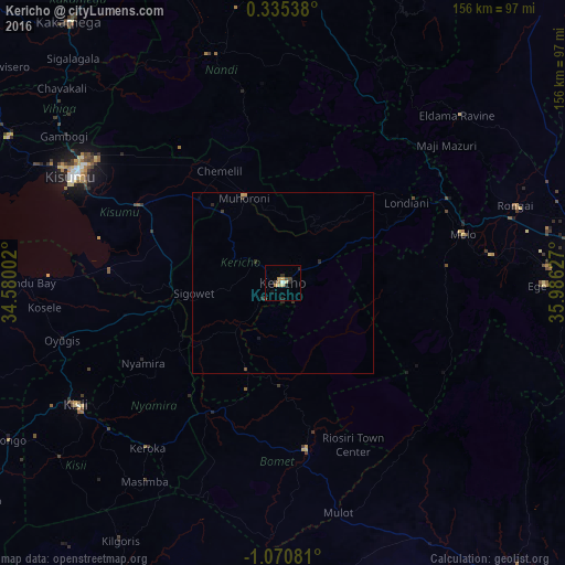
Analysis of Kericho night lights 2016
Square area 10x10 km:
100  0.43%
0.43%
90-99 0.43%
80-89 2.6%
70-79 1.52%
60-69 1.95%
50-59 0%
40-49 1.73%
30-39 2.38%
20-29 2.81%
10-19 1.52%
0-9 84.63%
0.43%90-99
0.43%80-89
2.6%70-79
1.52%60-69
1.95%50-59
0%40-49
1.73%30-39
2.38%20-29
2.81%10-19
1.52%0-9
84.63%Square area 50x50 km:
100 0.02%
90-99 0.02%
80-89 0.14%
70-79 0.1%
60-69 0.08%
50-59 0%
40-49 0.14%
30-39 0.16%
20-29 0.29%
10-19 0.1%
0-9 98.97%
0.02%90-99
0.02%80-89
0.14%70-79
0.1%60-69
0.08%50-59
0%40-49
0.14%30-39
0.16%20-29
0.29%10-19
0.1%0-9
98.97%Clear (daylight) street map image can be seen on geolist.org.
Map coordinates:
0° 20' 7.4" North, 34° 34' 48.1" East
0° 22' 3.9" South, 35° 16' 59.3" East
1° 4' 14.9" South, 35° 59' 10.6" East
Some cities around Kericho sort by population:
• Kisumu
65.1 km =40.5 mi,  296°
296°
• Molo
51.6 km =32.1 mi,  75°
75°
• Muhoroni
25.2 km =15.7 mi,  337°
337°
• Oyugis
63.4 km =39.4 mi,  255°
255°
• Nyamira
44.3 km =27.5 mi,  240°
240°
• Ahero
45.9 km =28.5 mi, 298°
• Sotik Post
46.4 km =28.8 mi,  171°
171°
• Kapsabet
66.6 km =41.4 mi, 342°
192900 (p: 35,748)
Sources (retrieved 2019-11-25):
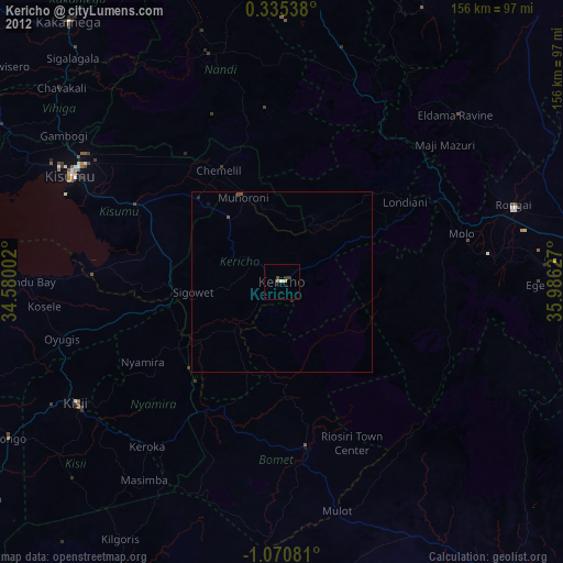
» Earth at Night: Flat Maps 2012, 2016