Kabarnet night lights from space
Night Light of Kabarnet (Baringo) from space (Kenya) Src. Average luminocity for 10x10km area is 0.816% and for 50x50km: 0.0341%.
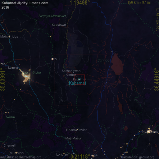
Analysis of Kabarnet night lights 2016
Square area 10x10 km:
 0%
0%90-99
0%80-89
0.43%70-79
0.43%60-69
0%50-59
0%40-49
0%30-39
0%20-29
0%10-19
0.87%0-9
98.27%Square area 50x50 km:
0%90-99
0%80-89
0.02%70-79
0.02%60-69
0%50-59
0%40-49
0%30-39
0%20-29
0%10-19
0.03%0-9
99.93%Clear (daylight) street map image can be seen on geolist.org.
Map coordinates:
1° 11' 41.9" North, 35° 2' 23.7" East
0° 29' 31" North, 35° 44' 34.9" East
0° 12' 40.2" South, 36° 26' 46.2" East
Some cities around Kabarnet sort by population:
• Eldoret
52.7 km =32.7 mi,  273°
273°
• Iten
32.8 km =20.4 mi,  307°
307°
• Rongai
75.2 km =46.7 mi,  169°
169°
• Molo
82.3 km =51.1 mi,  180°
180°
• Eldama Ravine
49 km =30.4 mi, 182°
• Kapsowar
57.9 km =36 mi,  339°
339°
• Baringo
25 km =15.5 mi,  96°
96°
• Kapsabet
77.8 km =48.3 mi,  245°
245°
195821 (p: 24,661)
Sources (retrieved 2019-11-25):
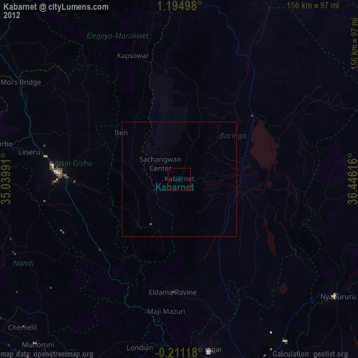
» Earth at Night: Flat Maps 2012, 2016