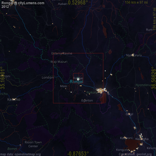
Rongai night lights from space
Night Light of Rongai (Nakuru) from space (Kenya) Src. Average luminocity for 10x10km area is 4.3983% and for 50x50km: 2.9617%.
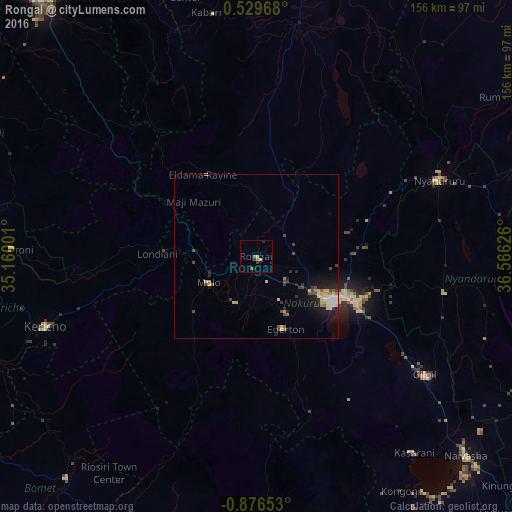
Analysis of Rongai night lights 2016
Square area 10x10 km:
 0%
0%90-99
0%80-89
0.87%70-79
0.87%60-69
0.87%50-59
1.73%40-49
0.65%30-39
1.08%20-29
1.52%10-19
0.22%0-9
92.21%Square area 50x50 km:
0.27%90-99
0.22%80-89
0.73%70-79
0.35%60-69
0.32%50-59
0.25%40-49
0.67%30-39
0.45%20-29
0.8%10-19
1.99%0-9
93.95%Clear (daylight) street map image can be seen on geolist.org.
Map coordinates:
0° 31' 46.8" North, 35° 9' 36" East
0° 10' 24.4" South, 35° 51' 47.3" East
0° 52' 35.5" South, 36° 33' 58.5" East
Some cities around Rongai sort by population:
• Nakuru
27.6 km =17.1 mi,  122°
122°
• Ol Kalou
58.4 km =36.3 mi,  100°
100°
• Kericho
68 km =42.3 mi,  251°
251°
• Nyahururu
60.4 km =37.5 mi,  67°
67°
• Molo
16.8 km =10.4 mi,  240°
240°
• Muhoroni
74.1 km =46 mi,  271°
271°
• Eldama Ravine
29.3 km =18.2 mi,  328°
328°
• Baringo
72.1 km =44.8 mi,  9°
9°
181135 (p: 30,471)
Sources (retrieved 2019-11-25):
» Earth at Night: Flat Maps 2012, 2016