Muhoroni night lights from space
Night Light of Muhoroni (Kisumu) from space (Kenya) Src. Average luminocity for 10x10km area is 1.7879% and for 50x50km: 0.4873%.
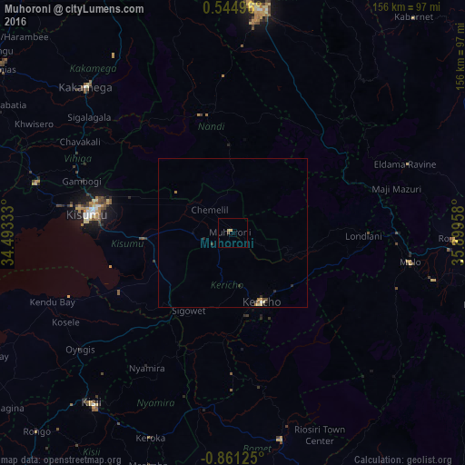
Analysis of Muhoroni night lights 2016
Square area 10x10 km:
 0%
0%90-99
0%80-89
0.87%70-79
0.87%60-69
0%50-59
0%40-49
0.87%30-39
0%20-29
0%10-19
0%0-9
97.4%Square area 50x50 km:
0.02%90-99
0.02%80-89
0.14%70-79
0.1%60-69
0.11%50-59
0%40-49
0.1%30-39
0.1%20-29
0.2%10-19
0.02%0-9
99.2%Clear (daylight) street map image can be seen on geolist.org.
Map coordinates:
0° 32' 41.9" North, 34° 29' 36" East
0° 9' 29.4" South, 35° 11' 47.2" East
0° 51' 40.5" South, 35° 53' 58.5" East
Some cities around Muhoroni sort by population:
• Kisumu
48.7 km =30.3 mi,  277°
277°
• Kericho
25.2 km =15.7 mi,  157°
157°
• Molo
60.4 km =37.5 mi,  99°
99°
• Eldama Ravine
63.5 km =39.5 mi,  68°
68°
• Nyamira
53.6 km =33.3 mi,  212°
212°
• Ahero
30.9 km =19.2 mi,  266°
266°
• Kapsabet
41.5 km =25.8 mi,  345°
345°
• Mbale
59.2 km =36.8 mi,  296°
296°
185939 (p: 15,217)
Sources (retrieved 2019-11-25):
» Earth at Night: Flat Maps 2012, 2016