Molo night lights from space
Night Light of Molo (Nakuru) from space (Kenya) Src. Average luminocity for 10x10km area is 3.5952% and for 50x50km: 0.9374%.
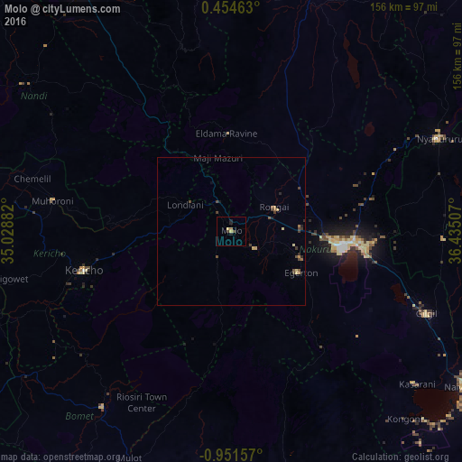
Analysis of Molo night lights 2016
Square area 10x10 km:
 0%
0%90-99
0%80-89
1.08%70-79
0.65%60-69
0.87%50-59
0%40-49
0.87%30-39
0.43%20-29
2.16%10-19
0.87%0-9
93.07%Square area 50x50 km:
0%90-99
0%80-89
0.25%70-79
0.11%60-69
0.17%50-59
0.16%40-49
0.36%30-39
0.25%20-29
0.22%10-19
0.1%0-9
98.36%Clear (daylight) street map image can be seen on geolist.org.
Map coordinates:
0° 27' 16.7" North, 35° 1' 43.8" East
0° 14' 54.6" South, 35° 43' 55" East
0° 57' 5.7" South, 36° 26' 6.3" East
Some cities around Molo sort by population:
• Nakuru
38.4 km =23.9 mi,  99°
99°
• Ol Kalou
72 km =44.7 mi,  91°
91°
• Kericho
51.6 km =32.1 mi,  255°
255°
• Nyahururu
77.1 km =47.9 mi,  65°
65°
• Rongai
16.8 km =10.4 mi,  60°
60°
• Muhoroni
60.4 km =37.5 mi,  279°
279°
• Eldama Ravine
33.4 km =20.8 mi,  359°
359°
• Sotik Post
73.4 km =45.6 mi,  216°
216°
186315 (p: 27,896)
Sources (retrieved 2019-11-25):
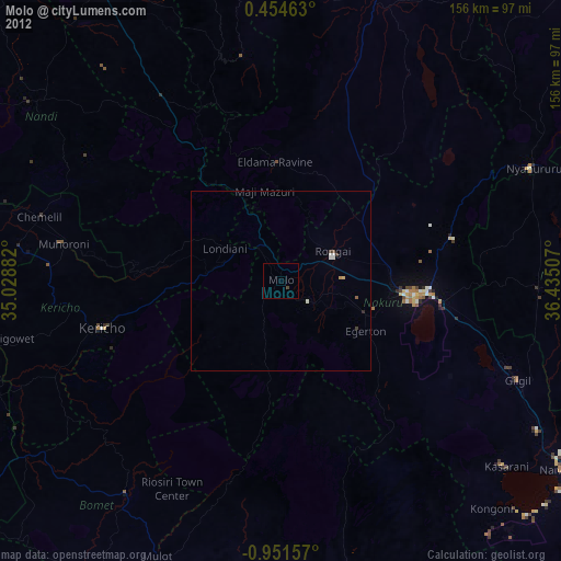
» Earth at Night: Flat Maps 2012, 2016