Ureshinomachi-shimojuku night lights from space
Night Light of Ureshinomachi-shimojuku (Saga) from space (Japan) Src. Average luminocity for 10x10km area is 5.696% and for 50x50km: 7.374%.
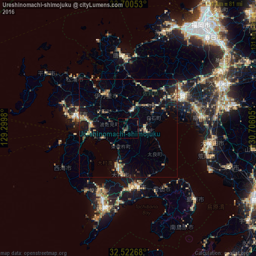
Analysis of Ureshinomachi-shimojuku night lights 2016
Square area 10x10 km:
 0%
0%90-99
0%80-89
0.73%70-79
0.37%60-69
0.37%50-59
0.55%40-49
1.83%30-39
3.85%20-29
2.2%10-19
2.2%0-9
87.91%Square area 50x50 km:
0.11%90-99
0.53%80-89
0.9%70-79
0.93%60-69
1.4%50-59
1.45%40-49
1.01%30-39
1.75%20-29
1.86%10-19
5.42%0-9
84.64%Clear (daylight) street map image can be seen on geolist.org.
Map coordinates:
33° 42' 1.9" North, 129° 17' 59.3" East
33° 6' 48.9" North, 130° 0' 10.5" East
32° 31' 21.6" North, 130° 42' 21.8" East
Some cities around Ureshinomachi-shimojuku sort by population:
• Sasebo
26.6 km =16.5 mi,  283°
283°
• Saga
30.7 km =19.1 mi,  64°
64°
• Isahaya
30.5 km =19 mi,  172°
172°
• Ōmura
21.9 km =13.6 mi,  192°
192°
• Imarichō-kō
21.2 km =13.2 mi,  327°
327°
• Takeochō-takeo
8.7 km =5.4 mi,  11°
11°
• Kashima
8.2 km =5.1 mi,  95°
95°
• Togitsu
34.3 km =21.3 mi,  204°
204°
1849183 (p: 18,953)
Sources (retrieved 2019-11-25):
» Earth at Night: Flat Maps 2012, 2016