Kashima night lights from space
Night Light of Kashima (Saga) from space (Japan) Src. Average luminocity for 10x10km area is 10.674% and for 50x50km: 8.1167%.
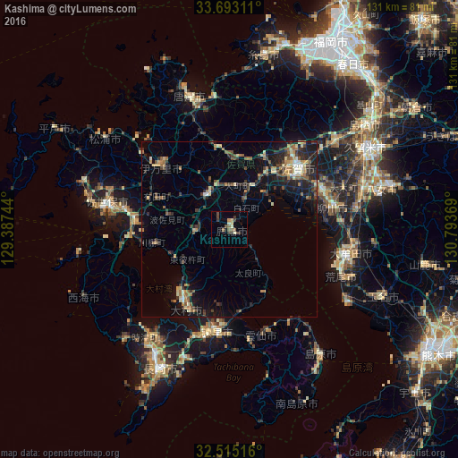
Analysis of Kashima night lights 2016
Square area 10x10 km:
 0%
0%90-99
1.47%80-89
1.65%70-79
1.28%60-69
0.37%50-59
2.56%40-49
3.48%30-39
3.11%20-29
1.47%10-19
0.73%0-9
83.88%Square area 50x50 km:
0.25%90-99
0.87%80-89
0.96%70-79
0.96%60-69
1.38%50-59
1.4%40-49
1.21%30-39
2%20-29
2.66%10-19
5.28%0-9
83.04%Clear (daylight) street map image can be seen on geolist.org.
Map coordinates:
33° 41' 35.2" North, 129° 23' 14.8" East
33° 6' 22" North, 130° 5' 26" East
32° 30' 54.6" North, 130° 47' 37.3" East
Some cities around Kashima sort by population:
• Saga
24.1 km =15 mi,  54°
54°
• Isahaya
29.8 km =18.5 mi,  188°
188°
• Ōmura
24.2 km =15 mi,  211°
211°
• Imarichō-kō
27.1 km =16.8 mi,  313°
313°
• Yanagawa
29.6 km =18.4 mi,  76°
76°
• Ōkawa
28.7 km =17.8 mi,  67°
67°
• Takeochō-takeo
11.4 km =7.1 mi,  325°
325°
• Ureshinomachi-shimojuku
8.2 km =5.1 mi,  275°
275°
1859941 (p: 32,410)
Sources (retrieved 2019-11-25):
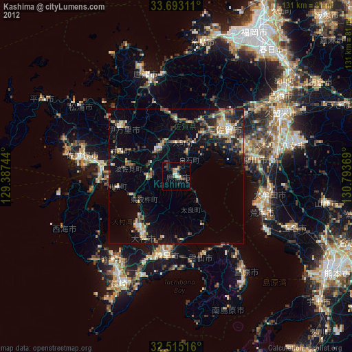
» Earth at Night: Flat Maps 2012, 2016