Ōmura night lights from space
Night Light of Ōmura (Nagasaki) from space (Japan) Src. Average luminocity for 10x10km area is 26.3883% and for 50x50km: 10.0085%.
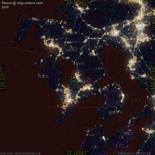
Analysis of Ōmura night lights 2016
Square area 10x10 km:
 0.37%
0.37%90-99
3.11%80-89
4.4%70-79
3.66%60-69
8.06%50-59
5.49%40-49
1.1%30-39
4.58%20-29
0.73%10-19
32.97%0-9
35.53%Square area 50x50 km:
0.35%90-99
0.93%80-89
1.28%70-79
1.67%60-69
2.07%50-59
1.65%40-49
1.06%30-39
1.97%20-29
2.84%10-19
9.83%0-9
76.34%Clear (daylight) street map image can be seen on geolist.org.
Map coordinates:
33° 30' 34.7" North, 129° 15' 2.8" East
32° 55' 17" North, 129° 57' 14" East
32° 19' 45.2" North, 130° 39' 25.3" East
Some cities around Ōmura sort by population:
• Nagasaki
20.2 km =12.6 mi,  199°
199°
• Sasebo
34.8 km =21.6 mi,  322°
322°
• Isahaya
12.2 km =7.6 mi,  136°
136°
• Obita
13.4 km =8.3 mi,  209°
209°
• Takeochō-takeo
30.5 km =19 mi,  11°
11°
• Kashima
24.2 km =15 mi,  31°
31°
• Togitsu
13.8 km =8.6 mi,  224°
224°
• Ureshinomachi-shimojuku
21.9 km =13.6 mi, 12°
1854093 (p: 89,918)
Sources (retrieved 2019-11-25):
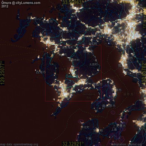
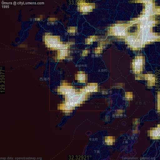
» NASA, Earths city lights 1995
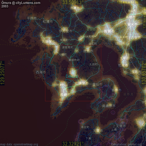
» NASA city lights 2003
» Earth at Night: Flat Maps 2012, 2016