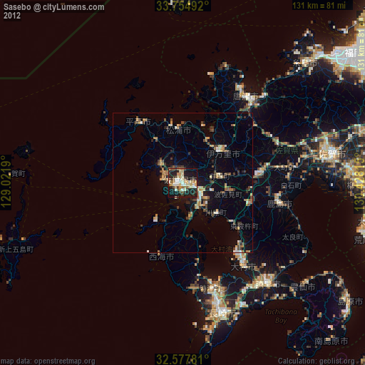
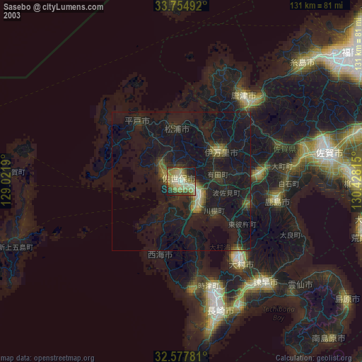
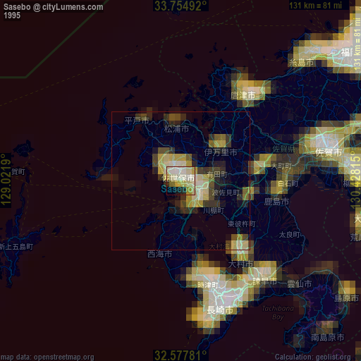
Sasebo night lights from space
Night Light of Sasebo (Nagasaki) from space (Japan) Src. Average luminocity for 10x10km area is 39.8718% and for 50x50km: 5.6728%.

Analysis of Sasebo night lights 2016
Square area 10x10 km:
 3.48%
3.48%90-99
6.59%80-89
3.85%70-79
6.59%60-69
8.42%50-59
7.14%40-49
3.85%30-39
5.86%20-29
13.37%10-19
37.73%0-9
3.11%Square area 50x50 km:
0.16%90-99
0.54%80-89
0.66%70-79
0.93%60-69
1.04%50-59
1.05%40-49
0.64%30-39
1.13%20-29
1.57%10-19
4.17%0-9
88.12%Clear (daylight) street map image can be seen on geolist.org.
Map coordinates:
33° 45' 17.7" North, 129° 1' 18.8" East
33° 10' 6" North, 129° 43' 30.1" East
32° 34' 40.1" North, 130° 25' 41.3" East
Some cities around Sasebo sort by population:
• Ōmura
34.8 km =21.6 mi,  142°
142°
• Karatsu
38 km =23.6 mi,  36°
36°
• Imarichō-kō
18.5 km =11.5 mi,  50°
50°
• Takeochō-takeo
27.6 km =17.1 mi,  84°
84°
• Kashima
34.7 km =21.6 mi,  101°
101°
• Togitsu
39 km =24.2 mi,  162°
162°
• Hirado
27.4 km =17 mi,  324°
324°
• Ureshinomachi-shimojuku
26.6 km =16.5 mi, 103°
1852899 (p: 237,444)
Sources (retrieved 2019-11-25):
» NASA, Earths city lights 1995
» NASA city lights 2003
» Earth at Night: Flat Maps 2012, 2016