Imarichō-kō night lights from space
Night Light of Imarichō-kō (Saga) from space (Japan) Src. Average luminocity for 10x10km area is 11.4038% and for 50x50km: 8.0573%.
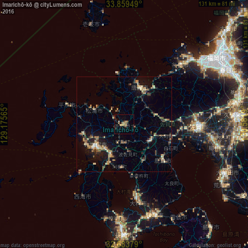
Analysis of Imarichō-kō night lights 2016
Square area 10x10 km:
 0.52%
0.52%90-99
0.17%80-89
1.4%70-79
2.8%60-69
2.97%50-59
1.57%40-49
1.92%30-39
1.4%20-29
1.92%10-19
0%0-9
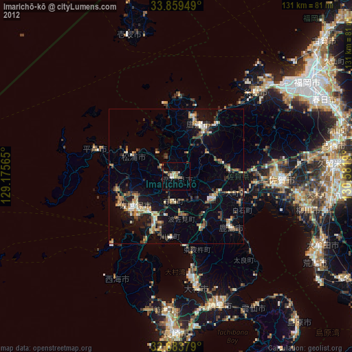
85.31%Square area 50x50 km:
0.19%90-99
0.81%80-89
1.01%70-79
1.06%60-69
1.32%50-59
1.61%40-49
1.04%30-39
1.74%20-29
2.09%10-19
5.14%0-9
83.98%Clear (daylight) street map image can be seen on geolist.org.
Map coordinates:
33° 51' 34.2" North, 129° 10' 32.3" East
33° 16' 25" North, 129° 52' 43.6" East
32° 41' 1.6" North, 130° 34' 54.8" East
Some cities around Imarichō-kō sort by population:
• Sasebo
18.5 km =11.5 mi,  230°
230°
• Saga
39.4 km =24.5 mi,  96°
96°
• Ōmura
39.8 km =24.7 mi,  169°
169°
• Karatsu
20.6 km =12.8 mi,  24°
24°
• Takeochō-takeo
16.2 km =10.1 mi,  125°
125°
• Kashima
27.1 km =16.8 mi, 133°
• Hirado
32.1 km =19.9 mi,  289°
289°
• Ureshinomachi-shimojuku
21.2 km =13.2 mi,  147°
147°
1861677 (p: 57,940)
Sources (retrieved 2019-11-25):
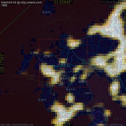
» NASA, Earths city lights 1995
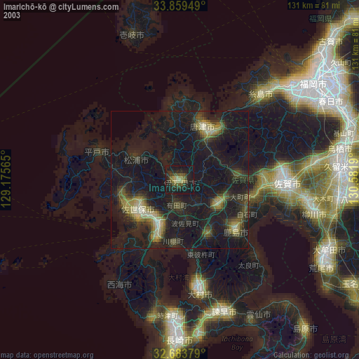
» NASA city lights 2003
» Earth at Night: Flat Maps 2012, 2016