Takeochō-takeo night lights from space
Night Light of Takeochō-takeo (Saga) from space (Japan) Src. Average luminocity for 10x10km area is 11.5245% and for 50x50km: 6.7799%.
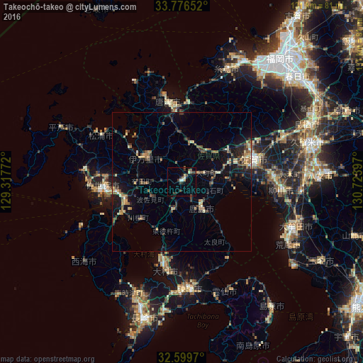
Analysis of Takeochō-takeo night lights 2016
Square area 10x10 km:
 0.87%
0.87%90-99
1.92%80-89
0.7%70-79
0.7%60-69
1.22%50-59
1.92%40-49
2.97%30-39
3.32%20-29
2.27%10-19
0.52%0-9
83.57%Square area 50x50 km:
0.11%90-99
0.54%80-89
0.82%70-79
0.9%60-69
1.12%50-59
1.26%40-49
0.95%30-39
1.73%20-29
1.82%10-19
4.26%0-9
86.5%Clear (daylight) street map image can be seen on geolist.org.
Map coordinates:
33° 46' 35.5" North, 129° 19' 3.8" East
33° 11' 24.3" North, 130° 1' 15" East
32° 35' 58.9" North, 130° 43' 26.3" East
Some cities around Takeochō-takeo sort by population:
• Sasebo
27.6 km =17.1 mi,  264°
264°
• Saga
26.4 km =16.4 mi,  79°
79°
• Ōmura
30.5 km =19 mi,  191°
191°
• Karatsu
28.5 km =17.7 mi,  350°
350°
• Imarichō-kō
16.2 km =10.1 mi,  305°
305°
• Ōkawa
33 km =20.5 mi,  86°
86°
• Kashima
11.4 km =7.1 mi,  145°
145°
• Ureshinomachi-shimojuku
8.7 km =5.4 mi, 191°
1850834 (p: 34,230)
Sources (retrieved 2019-11-25):
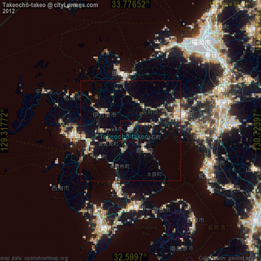
» Earth at Night: Flat Maps 2012, 2016