Togitsu night lights from space
Night Light of Togitsu (Nagasaki) from space (Japan) Src. Average luminocity for 10x10km area is 32.2797% and for 50x50km: 8.3443%.
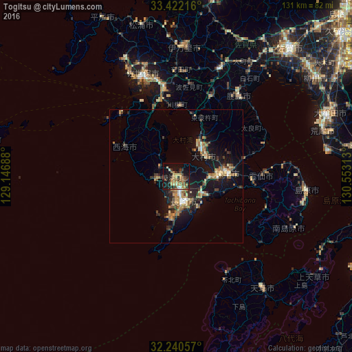
Analysis of Togitsu night lights 2016
Square area 10x10 km:
 1.4%
1.4%90-99
1.92%80-89
3.67%70-79
8.57%60-69
8.92%50-59
4.55%40-49
3.5%30-39
6.12%20-29
9.79%10-19
28.15%0-9
23.43%Square area 50x50 km:
0.35%90-99
0.77%80-89
1.11%70-79
1.38%60-69
1.82%50-59
1.23%40-49
0.89%30-39
1.61%20-29
2.38%10-19
8.38%0-9
80.07%Clear (daylight) street map image can be seen on geolist.org.
Map coordinates:
33° 25' 19.8" North, 129° 8' 48.8" East
32° 49' 60" North, 129° 51' 0" East
32° 14' 26.1" North, 130° 33' 11.3" East
Some cities around Togitsu sort by population:
• Nagasaki
9.8 km =6.1 mi,  161°
161°
• Sasebo
39 km =24.2 mi,  342°
342°
• Isahaya
18.1 km =11.2 mi,  87°
87°
• Ōmura
13.8 km =8.6 mi,  44°
44°
• Obita
3.6 km =2.2 mi,  120°
120°
• Takeochō-takeo
42.7 km =26.5 mi,  21°
21°
• Kashima
37.7 km =23.4 mi, 36°
• Ureshinomachi-shimojuku
34.3 km =21.3 mi, 24°
1850269 (p: 29,364)
Sources (retrieved 2019-11-25):
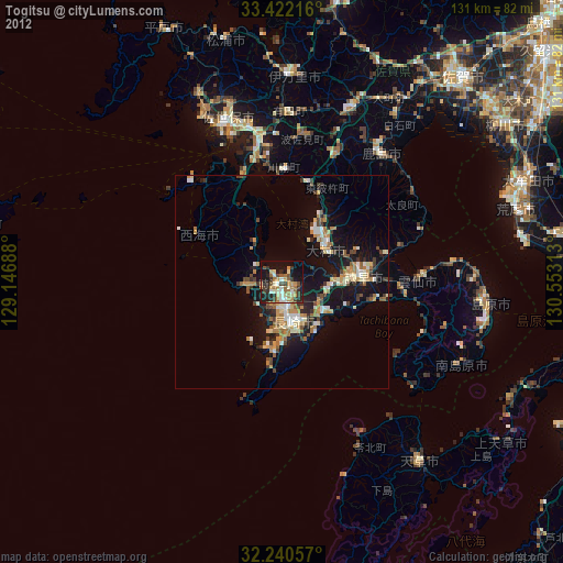
» Earth at Night: Flat Maps 2012, 2016