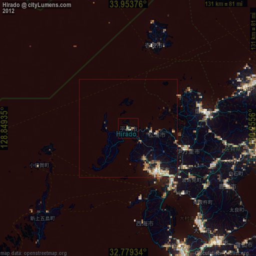
Hirado night lights from space
Night Light of Hirado (Nagasaki) from space (Japan) Src. Average luminocity for 10x10km area is 3.0664% and for 50x50km: 2.9528%.
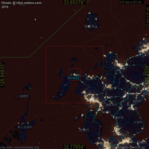
Analysis of Hirado night lights 2016
Square area 10x10 km:
 0%
0%90-99
0.52%80-89
0.87%70-79
0%60-69
0.52%50-59
0.17%40-49
0.7%30-39
0.35%20-29
2.8%10-19
0%0-9
94.06%Square area 50x50 km:
0.14%90-99
0.41%80-89
0.36%70-79
0.42%60-69
0.55%50-59
0.55%40-49
0.33%30-39
0.53%20-29
0.99%10-19
2.04%0-9
93.7%Clear (daylight) street map image can be seen on geolist.org.
Map coordinates:
33° 57' 13.5" North, 128° 50' 57.7" East
33° 22' 6.7" North, 129° 33' 8.9" East
32° 46' 45.6" North, 130° 15' 20.2" East
Some cities around Hirado sort by population:
• Sasebo
27.4 km =17 mi,  144°
144°
• Ōmura
62.2 km =38.6 mi, 143°
• Karatsu
39.6 km =24.6 mi,  78°
78°
• Maebaru-chūō
63.8 km =39.6 mi,  70°
70°
• Imarichō-kō
32.1 km =19.9 mi,  109°
109°
• Takeochō-takeo
47.8 km =29.7 mi, 114°
• Kashima
57.9 km =36 mi,  120°
120°
• Ureshinomachi-shimojuku
50.6 km =31.4 mi, 124°
1862555 (p: 22,516)
Sources (retrieved 2019-11-25):
» Earth at Night: Flat Maps 2012, 2016