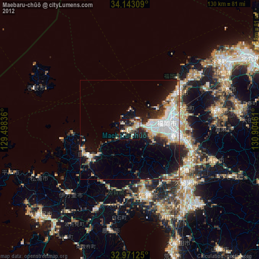
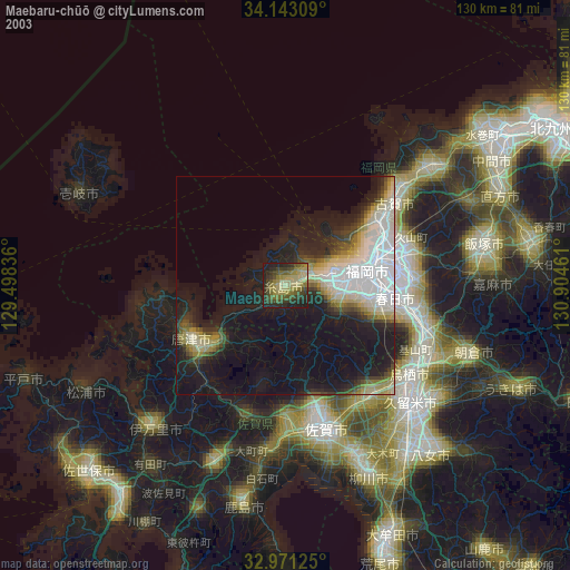
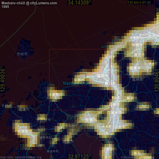
Maebaru-chūō night lights from space
Night Light of Maebaru-chūō (Fukuoka) from space (Japan) Src. Average luminocity for 10x10km area is 33.196% and for 50x50km: 15.8254%.
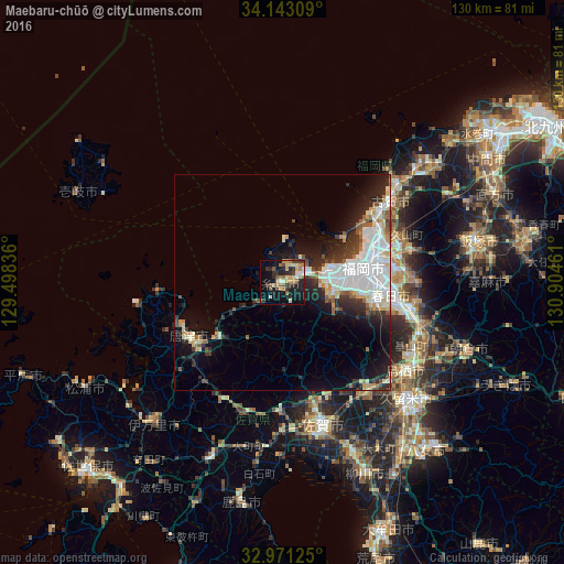
Analysis of Maebaru-chūō night lights 2016
Square area 10x10 km:
 2.01%
2.01%90-99
4.21%80-89
6.23%70-79
3.66%60-69
6.78%50-59
6.41%40-49
3.48%30-39
7.33%20-29
10.07%10-19
25.27%0-9
24.54%Square area 50x50 km:
4.2%90-99
3.62%80-89
1.62%70-79
1.26%60-69
1.01%50-59
1.77%40-49
1.13%30-39
2.21%20-29
4.32%10-19
7.73%0-9
71.12%Clear (daylight) street map image can be seen on geolist.org.
Map coordinates:
34° 8' 35.1" North, 129° 29' 54.1" East
33° 33' 33" North, 130° 12' 5.3" East
32° 58' 16.5" North, 130° 54' 16.6" East
Some cities around Maebaru-chūō sort by population:
• Fukuoka
20.4 km =12.7 mi,  77°
77°
• Chikushino-shi
29.9 km =18.6 mi,  103°
103°
• Ōnojō
25.8 km =16 mi, 95°
• Karatsu
25.1 km =15.6 mi,  238°
238°
• Dazaifu
30.3 km =18.8 mi, 99°
• Koga
31.3 km =19.4 mi,  51°
51°
• Umi
28.6 km =17.8 mi,  87°
87°
• Shingū
27.4 km =17 mi, 51°
1857844 (p: 70,339)
Sources (retrieved 2019-11-25):
» NASA, Earths city lights 1995
» NASA city lights 2003
» Earth at Night: Flat Maps 2012, 2016