Zahedan night lights from space
Night Light of Zahedan (Sistan and Baluchestan) from space (Iran) Src. Average luminocity for 10x10km area is 93.375% and for 50x50km: 9.7207%.
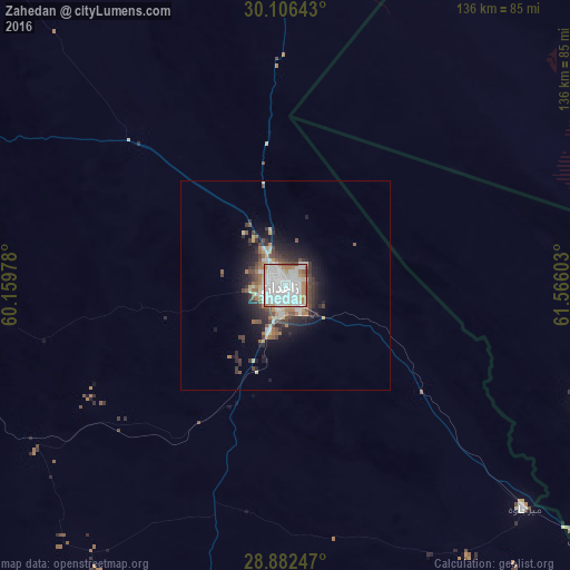
Analysis of Zahedan night lights 2016
Square area 10x10 km:
 47.73%
90-99
33.33%80-89
2.65%70-79
5.11%60-69
8.52%50-59
1.52%40-49
1.14%30-39
0%20-29
0%10-19
0%0-9
0%Square area 50x50 km:
2.2%90-99
2.11%80-89
0.66%70-79
0.7%60-69
1.4%50-59
0.99%40-49
1.45%30-39
1.5%20-29
2.53%10-19
4.87%0-9
81.59%Clear (daylight) street map image can be seen on geolist.org.
Map coordinates:
30° 6' 23.1" North, 60° 9' 35.2" East
29° 29' 46.7" North, 60° 51' 46.4" East
28° 52' 56.9" North, 61° 33' 57.7" East
Some cities around Zahedan sort by population:
• Iranshahr
255.6 km =158.8 mi,  183°
183°
• Zābol
181.1 km =112.5 mi,  19°
19°
• Bam
246.8 km =153.4 mi,  259°
259°
• Khāsh
145.9 km =90.7 mi,  166°
166°
• Zaranj, AF
188.8 km =117.3 mi,  30°
30°
• Mīrābād, AF
140.5 km =87.3 mi,  41°
41°
• Rūdbār, AF
182.6 km =113.5 mi,  66°
66°
• ‘Alāqahdārī Dīshū, AF
256.6 km =159.4 mi, 66°
1159301 (p: 551,980)
Sources (retrieved 2019-11-25):
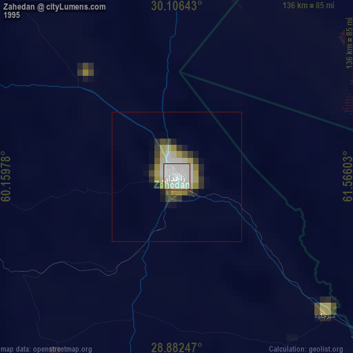
» NASA, Earths city lights 1995
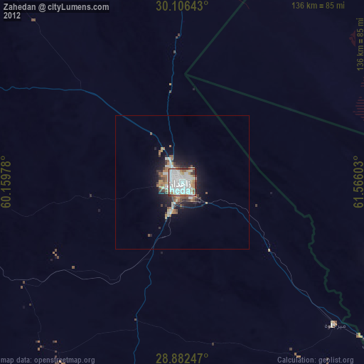
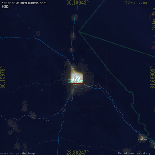
» NASA city lights 2003
» Earth at Night: Flat Maps 2012, 2016