Zābol night lights from space
Night Light of Zābol (Sistan and Baluchestan) from space (Iran) Src. Average luminocity for 10x10km area is 62.1667% and for 50x50km: 9.6636%.

Analysis of Zābol night lights 2016
Square area 10x10 km:
 10.81%
90-99
12.27%80-89
7.51%70-79
16.3%60-69
12.64%50-59
3.11%40-49
8.06%30-39
11.9%20-29
13.37%10-19
4.03%0-9
0%Square area 50x50 km:
0.68%90-99
0.7%80-89
0.5%70-79
1.79%60-69
1.94%50-59
1.04%40-49
1.96%30-39
2.42%20-29
3.46%10-19
7.29%0-9
78.22%Clear (daylight) street map image can be seen on geolist.org.
Map coordinates:
31° 37' 52.3" North, 60° 47' 30.4" East
31° 1' 50.2" North, 61° 29' 41.6" East
30° 25' 34.3" North, 62° 11' 52.9" East
Some cities around Zābol sort by population:
• Zahedan
181.1 km =112.5 mi,  199°
199°
• Zaranj, AF
35.7 km =22.2 mi,  102°
102°
• Farah, AF
160.6 km =99.8 mi,  21°
21°
• Khāsh, AF
135 km =83.9 mi,  65°
65°
• Mīrābād, AF
73.8 km =45.9 mi,  153°
153°
• Rūdbār, AF
144.1 km =89.5 mi,  132°
132°
• Anār Darah, AF
192.7 km =119.7 mi,  4°
4°
• ‘Alāqahdārī Dīshū, AF
184.7 km =114.8 mi,  111°
111°
1113217 (p: 121,989)
Sources (retrieved 2019-11-25):
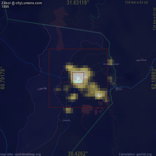
» NASA, Earths city lights 1995
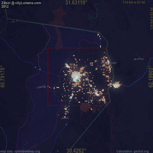
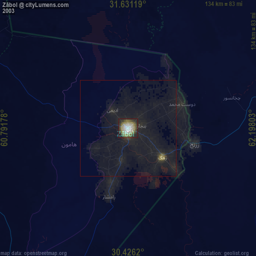
» NASA city lights 2003
» Earth at Night: Flat Maps 2012, 2016