Khāsh night lights from space
Night Light of Khāsh (Sistan and Baluchestan) from space (Iran) Src. Average luminocity for 10x10km area is 47.2341% and for 50x50km: 3.5141%.
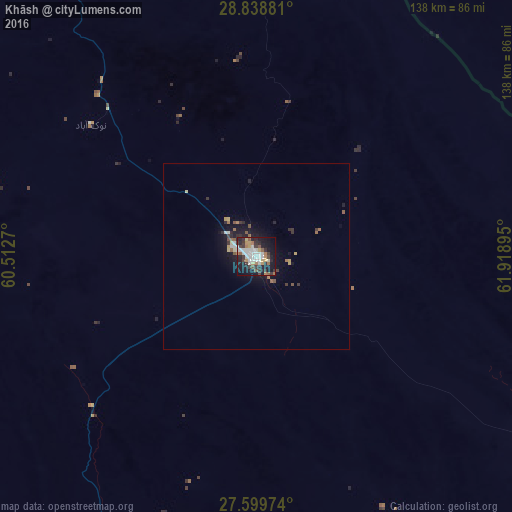
Analysis of Khāsh night lights 2016
Square area 10x10 km:
 9.72%
9.72%90-99
11.71%80-89
3.17%70-79
6.15%60-69
5.16%50-59
4.96%40-49
2.78%30-39
11.51%20-29
15.67%10-19
27.18%0-9
1.98%Square area 50x50 km:
0.44%90-99
0.59%80-89
0.27%70-79
0.38%60-69
0.53%50-59
0.49%40-49
0.18%30-39
0.82%20-29
0.98%10-19
3.18%0-9
92.14%Clear (daylight) street map image can be seen on geolist.org.
Map coordinates:
28° 50' 19.7" North, 60° 30' 45.7" East
28° 13' 15.9" North, 61° 12' 57" East
27° 35' 59.1" North, 61° 55' 8.2" East
Some cities around Khāsh sort by population:
• Zahedan
145.9 km =90.7 mi,  346°
346°
• Iranshahr
124.7 km =77.5 mi,  204°
204°
• Bam
295.8 km =183.8 mi,  289°
289°
• Qaşr-e Qand
224.1 km =139.2 mi,  191°
191°
• Nīkshahr
242.9 km =150.9 mi, 204°
• Mīrābād, AF
253.6 km =157.6 mi,  13°
13°
• Fannūj
240.1 km =149.2 mi,  220°
220°
• Rūdbār, AF
253.1 km =157.3 mi,  32°
32°
1160571 (p: 69,603)
Sources (retrieved 2019-11-25):
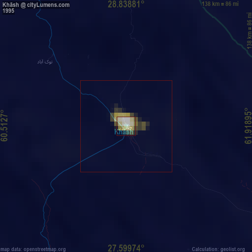
» NASA, Earths city lights 1995
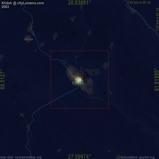
» NASA city lights 2003
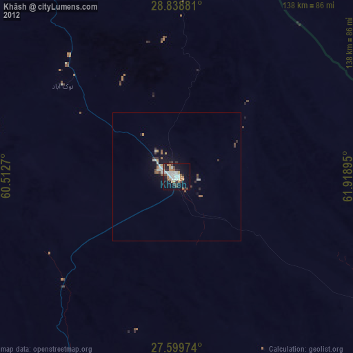
» Earth at Night: Flat Maps 2012, 2016