Iranshahr night lights from space
Night Light of Iranshahr (Sistan and Baluchestan) from space (Iran) Src. Average luminocity for 10x10km area is 63.7292% and for 50x50km: 7.9671%.
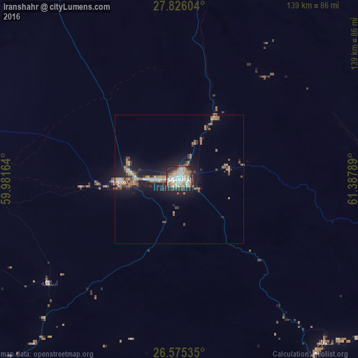
Analysis of Iranshahr night lights 2016
Square area 10x10 km:
 15.34%
90-99
19.32%80-89
4.17%70-79
9.66%60-69
10.23%50-59
4.17%40-49
3.98%30-39
7.77%20-29
19.13%10-19
6.25%0-9
0%Square area 50x50 km:
0.99%90-99
1.18%80-89
0.49%70-79
0.94%60-69
1.97%50-59
0.8%40-49
0.81%30-39
1.44%20-29
2.14%10-19
6.88%0-9
82.35%Clear (daylight) street map image can be seen on geolist.org.
Map coordinates:
27° 49' 33.7" North, 59° 58' 53.9" East
27° 12' 8.8" North, 60° 41' 5.1" East
26° 34' 31.3" North, 61° 23' 16.4" East
Some cities around Iranshahr sort by population:
• Zahedan
255.6 km =158.8 mi,  3°
3°
• Turbat, PK
270.3 km =168 mi,  119°
119°
• Khāsh
124.7 km =77.5 mi,  24°
24°
• Chabahar
212.5 km =132 mi,  181°
181°
• Qaşr-e Qand
106.3 km =66.1 mi, 176°
• Nīkshahr
118.2 km =73.4 mi,  203°
203°
• Jiwani, PK
261.9 km =162.7 mi,  156°
156°
• Fannūj
124.9 km =77.6 mi,  236°
236°
1160939 (p: 131,232)
Sources (retrieved 2019-11-25):
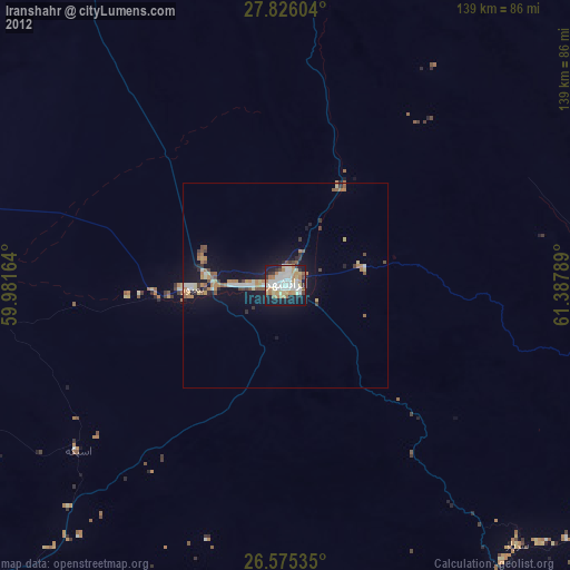
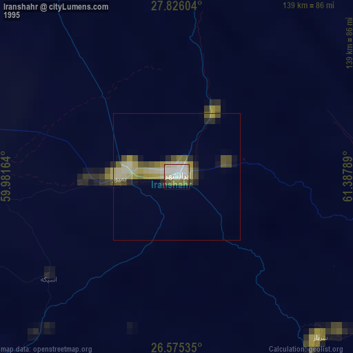
» NASA, Earths city lights 1995
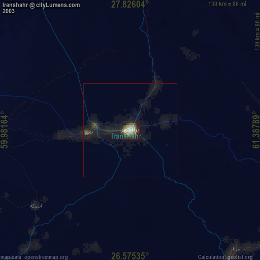
» NASA city lights 2003
» Earth at Night: Flat Maps 2012, 2016