‘Alāqahdārī Dīshū night lights from space
Night Light of ‘Alāqahdārī Dīshū (Helmand) from space (Afghanistan) Src. Average luminocity for 10x10km area is 0% and for 50x50km: 0%.
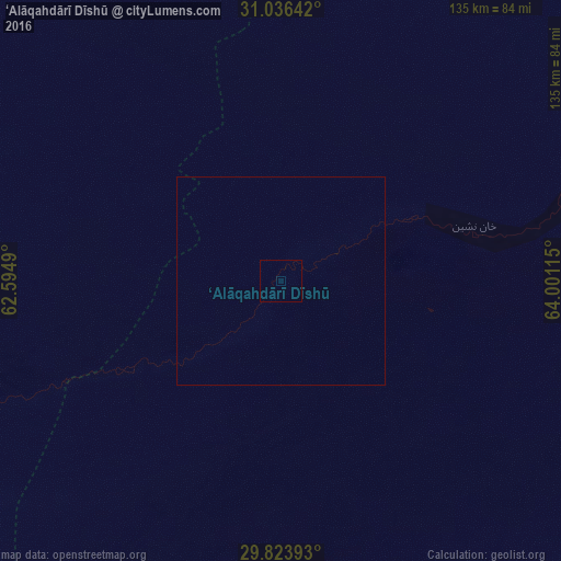
Analysis of ‘Alāqahdārī Dīshū night lights 2016
Square area 10x10 km:
 0%
0%90-99
0%80-89
0%70-79
0%60-69
0%50-59
0%40-49
0%30-39
0%20-29
0%10-19
0%0-9
100%Square area 50x50 km:
0%90-99
0%80-89
0%70-79
0%60-69
0%50-59
0%40-49
0%30-39
0%20-29
0%10-19
0%0-9
100%Clear (daylight) street map image can be seen on geolist.org.
Map coordinates:
31° 2' 11.1" North, 62° 35' 41.6" East
30° 25' 55.4" North, 63° 17' 52.9" East
29° 49' 26.1" North, 64° 0' 4.1" East
Some cities around ‘Alāqahdārī Dīshū sort by population:
• Zābol, IR
184.7 km =114.8 mi,  291°
291°
• Zaranj
149.4 km =92.8 mi, 293°
• Lashkar Gāh
164.8 km =102.4 mi,  38°
38°
• Gereshk
196.2 km =121.9 mi, 38°
• Khāsh
131.2 km =81.5 mi,  338°
338°
• Mīrābād
139.9 km =86.9 mi,  270°
270°
• Rūdbār
74 km =46 mi,  244°
244°
• Markaz-e Ḩukūmat-e Darwēshān
115.7 km =71.9 mi,  47°
47°
1149052 (p: 9,196)
Sources (retrieved 2019-11-25):
» Earth at Night: Flat Maps 2012, 2016