Yasuj night lights from space
Night Light of Yasuj (Kohgiluyeh and Boyer-Ahmad) from space (Iran) Src. Average luminocity for 10x10km area is 68.4843% and for 50x50km: 9.1952%.
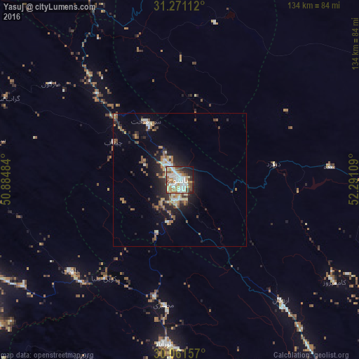
Analysis of Yasuj night lights 2016
Square area 10x10 km:
 16.26%
90-99
21.33%80-89
6.64%70-79
9.97%60-69
8.39%50-59
7.69%40-49
8.57%30-39
6.12%20-29
7.69%10-19
6.82%0-9
0.52%Square area 50x50 km:
0.99%90-99
1.65%80-89
0.83%70-79
1.13%60-69
1.42%50-59
1.68%40-49
1.21%30-39
1.23%20-29
2.56%10-19
5.56%0-9
81.75%Clear (daylight) street map image can be seen on geolist.org.
Map coordinates:
31° 16' 16" North, 50° 53' 5.4" East
30° 40' 5.7" North, 51° 35' 16.7" East
30° 3' 41.7" North, 52° 17' 27.9" East
Some cities around Yasuj sort by population:
• Marvdasht
146.3 km =90.9 mi,  127°
127°
• Dogonbadan
83.1 km =51.6 mi,  245°
245°
• Kāzerūn
116.8 km =72.6 mi,  176°
176°
• Behbahān
129.1 km =80.2 mi,  266°
266°
• Dehdasht
98.8 km =61.4 mi,  278°
278°
• Nūrābād
61.9 km =38.5 mi,  185°
185°
• Ābādeh
115.2 km =71.6 mi,  61°
61°
• Semīrom
83.2 km =51.7 mi,  358°
358°
66093 (p: 96,786)
Sources (retrieved 2019-11-25):
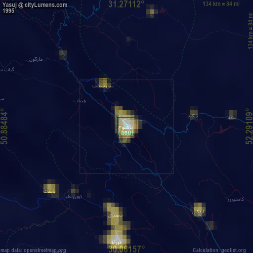
» NASA, Earths city lights 1995
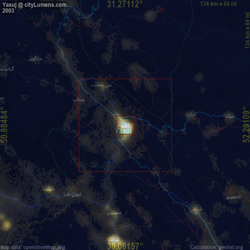
» NASA city lights 2003
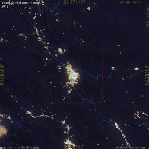
» Earth at Night: Flat Maps 2012, 2016