Semīrom night lights from space
Night Light of Semīrom (Isfahan) from space (Iran) Src. Average luminocity for 10x10km area is 18.5262% and for 50x50km: 1.3806%.
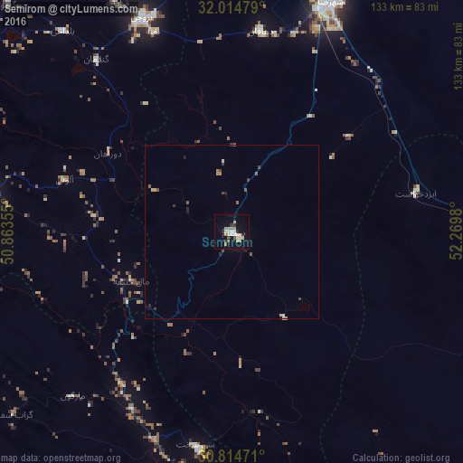
Analysis of Semīrom night lights 2016
Square area 10x10 km:
 2.27%
2.27%90-99
3.5%80-89
2.45%70-79
1.57%60-69
4.37%50-59
1.92%40-49
0%30-39
1.57%20-29
2.62%10-19
10.31%0-9
69.41%Square area 50x50 km:
0.11%90-99
0.21%80-89
0.13%70-79
0.16%60-69
0.25%50-59
0.22%40-49
0.18%30-39
0.21%20-29
0.26%10-19
0.53%0-9
97.74%Clear (daylight) street map image can be seen on geolist.org.
Map coordinates:
32° 0' 53.2" North, 50° 51' 48.8" East
31° 25' 0" North, 51° 34' 0" East
30° 48' 53" North, 52° 16' 11.3" East
Some cities around Semīrom sort by population:
• Shahr-e Kord
121.3 km =75.4 mi,  326°
326°
• Yasuj
83.2 km =51.7 mi,  178°
178°
• Dehdasht
117.8 km =73.2 mi,  234°
234°
• Ābādeh
106.8 km =66.4 mi,  105°
105°
• Borūjen
66.5 km =41.3 mi,  336°
336°
• Kelīshād va Sūdarjān
126.2 km =78.4 mi,  358°
358°
• Farrokh Shahr
110 km =68.4 mi, 329°
• Abrīsham
126.7 km =78.7 mi,  0°
0°
116406 (p: 27,220)
Sources (retrieved 2019-11-25):
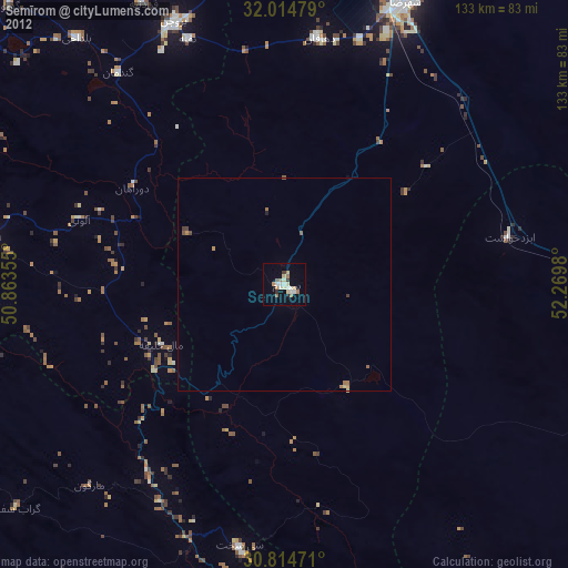
» Earth at Night: Flat Maps 2012, 2016