Dehdasht night lights from space
Night Light of Dehdasht (Kohgiluyeh and Boyer-Ahmad) from space (Iran) Src. Average luminocity for 10x10km area is 37.1713% and for 50x50km: 9.6742%.
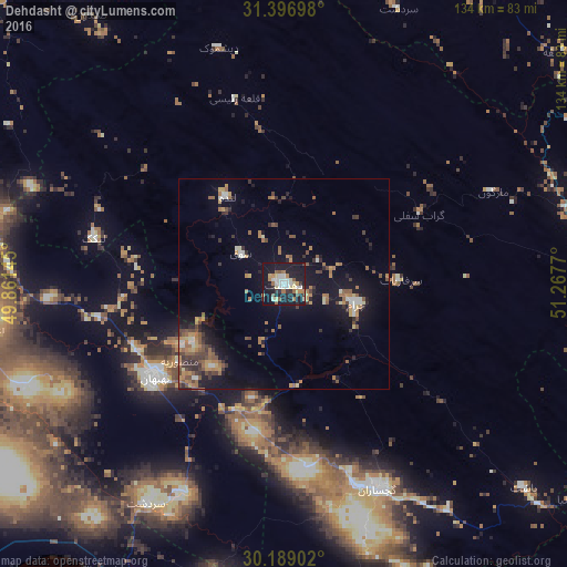


Analysis of Dehdasht night lights 2016
Square area 10x10 km:
 5.94%
5.94%90-99
7.34%80-89
4.9%70-79
2.27%60-69
6.99%50-59
3.85%40-49
2.1%30-39
4.55%20-29
7.52%10-19
50.17%0-9
4.37%Square area 50x50 km:
0.61%90-99
1.03%80-89
0.7%70-79
1.32%60-69
2.19%50-59
1.81%40-49
1.58%30-39
1.56%20-29
1.96%10-19
8.54%0-9
78.71%Clear (daylight) street map image can be seen on geolist.org.
Map coordinates:
31° 23' 49.1" North, 49° 51' 41.2" East
30° 47' 41.6" North, 50° 33' 52.5" East
30° 11' 20.5" North, 51° 16' 3.7" East
Some cities around Dehdasht sort by population:
• Yasuj
98.8 km =61.4 mi,  98°
98°
• Dogonbadan
53.4 km =33.2 mi,  155°
155°
• Behbahān
38 km =23.6 mi,  234°
234°
• Omīdīyeh
82.5 km =51.3 mi,  267°
267°
• Rāmhormoz
106.3 km =66.1 mi,  300°
300°
• Semīrom
117.8 km =73.2 mi,  54°
54°
• Aghajari
70.8 km =44 mi,  261°
261°
• Rāmshīr
111 km =69 mi,  275°
275°
136987 (p: 69,726)
Sources (retrieved 2019-11-25):
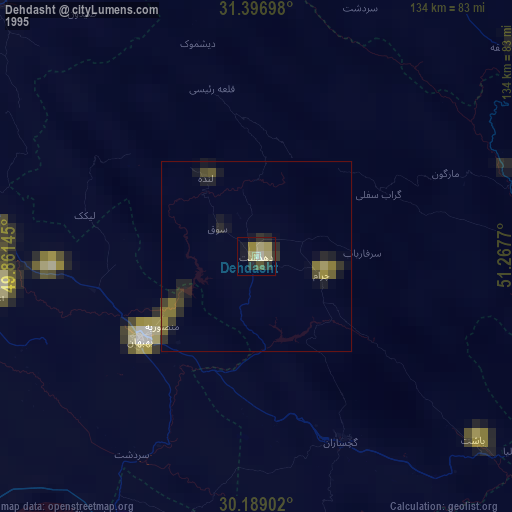
» NASA, Earths city lights 1995
» NASA city lights 2003
» Earth at Night: Flat Maps 2012, 2016