Behbahān night lights from space
Night Light of Behbahān (Khuzestan) from space (Iran) Src. Average luminocity for 10x10km area is 64.0421% and for 50x50km: 19.9329%.
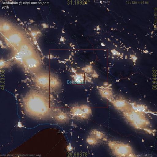
Analysis of Behbahān night lights 2016
Square area 10x10 km:
 16.85%
90-99
16.3%80-89
3.48%70-79
9.52%60-69
11.17%50-59
4.4%40-49
8.97%30-39
8.97%20-29
15.75%10-19
4.4%0-9
0.18%Square area 50x50 km:
1.14%90-99
1.49%80-89
1.48%70-79
2.79%60-69
4.03%50-59
3.9%40-49
4.57%30-39
5.96%20-29
7.03%10-19
14.96%0-9
52.66%Clear (daylight) street map image can be seen on geolist.org.
Map coordinates:
31° 11' 57.3" North, 49° 32' 18.9" East
30° 35' 45.2" North, 50° 14' 30.1" East
29° 59' 19.6" North, 50° 56' 41.4" East
Some cities around Behbahān sort by population:
• Yasuj
129.1 km =80.2 mi,  86°
86°
• Dogonbadan
59.5 km =37 mi,  116°
116°
• Dehdasht
38 km =23.6 mi,  54°
54°
• Bandar-e Genāveh
116.1 km =72.1 mi,  166°
166°
• Omīdīyeh
54.8 km =34.1 mi,  289°
289°
• Rāmhormoz
97.4 km =60.5 mi,  321°
321°
• Aghajari
40.9 km =25.4 mi, 286°
• Rāmshīr
86.3 km =53.6 mi, 292°
140951 (p: 79,327)
Sources (retrieved 2019-11-25):
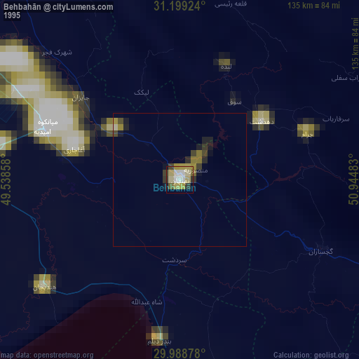
» NASA, Earths city lights 1995
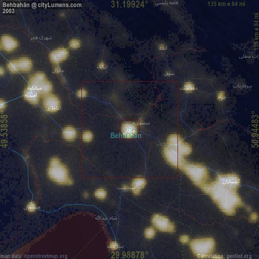
» NASA city lights 2003
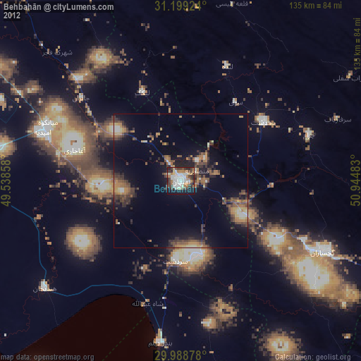
» Earth at Night: Flat Maps 2012, 2016