Ābādeh night lights from space
Night Light of Ābādeh (Fars) from space (Iran) Src. Average luminocity for 10x10km area is 41.2821% and for 50x50km: 4.6004%.
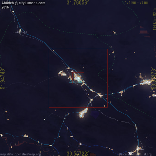
Analysis of Ābādeh night lights 2016
Square area 10x10 km:
 7.88%
7.88%90-99
8.42%80-89
6.41%70-79
4.76%60-69
4.4%50-59
2.93%40-49
3.66%30-39
2.93%20-29
11.17%10-19
41.58%0-9
5.86%Square area 50x50 km:
0.44%90-99
0.76%80-89
0.59%70-79
0.48%60-69
0.4%50-59
0.7%40-49
0.52%30-39
0.53%20-29
0.69%10-19
4.22%0-9
90.68%Clear (daylight) street map image can be seen on geolist.org.
Map coordinates:
31° 45' 38" North, 51° 56' 50.9" East
31° 9' 38.9" North, 52° 39' 2.2" East
30° 33' 26" North, 53° 21' 13.4" East
Some cities around Ābādeh sort by population:
• Shiraz
172.8 km =107.4 mi,  183°
183°
• Marvdasht
143.8 km =89.4 mi,  174°
174°
• Yasuj
115.2 km =71.6 mi,  241°
241°
• Nūrābād
158.8 km =98.7 mi,  222°
222°
• Borūjen
157.1 km =97.6 mi,  304°
304°
• Pāsārgād
118 km =73.3 mi,  154°
154°
• Semīrom
106.8 km =66.4 mi,  285°
285°
• Taft
160.9 km =100 mi,  66°
66°
145449 (p: 56,988)
Sources (retrieved 2019-11-25):
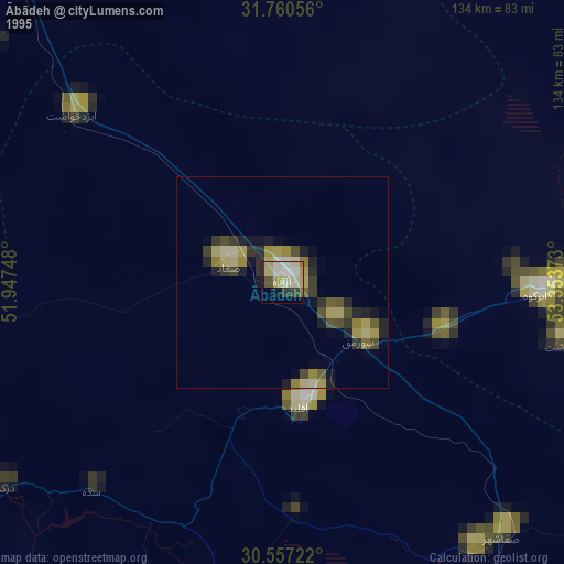
» NASA, Earths city lights 1995
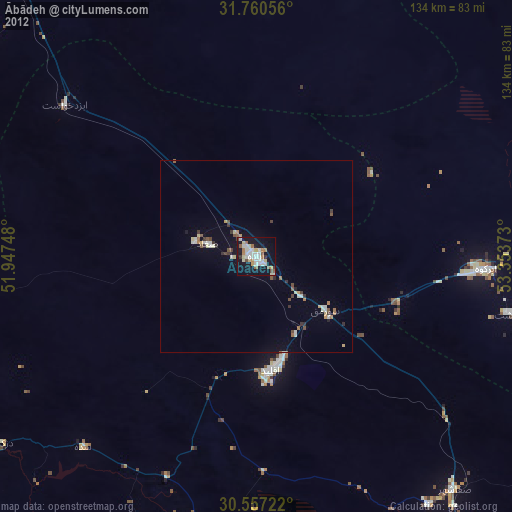
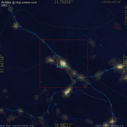
» NASA city lights 2003
» Earth at Night: Flat Maps 2012, 2016