Dogonbadan night lights from space
Night Light of Dogonbadan (Kohgiluyeh and Boyer-Ahmad) from space (Iran) Src. Average luminocity for 10x10km area is 72.2747% and for 50x50km: 20.8897%.
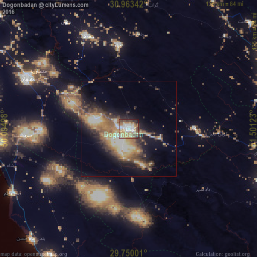
Analysis of Dogonbadan night lights 2016
Square area 10x10 km:
 14.65%
90-99
14.47%80-89
13.55%70-79
17.58%60-69
10.62%50-59
9.34%40-49
9.34%30-39
4.21%20-29
4.76%10-19
1.47%0-9
0%Square area 50x50 km:
1.58%90-99
3.52%80-89
3.32%70-79
3.17%60-69
4.7%50-59
3.49%40-49
3.06%30-39
3.78%20-29
4.24%10-19
9.45%0-9
59.67%Clear (daylight) street map image can be seen on geolist.org.
Map coordinates:
30° 57' 48.3" North, 50° 5' 41.9" East
30° 21' 31" North, 50° 47' 53.2" East
29° 45' 0" North, 51° 30' 4.4" East
Some cities around Dogonbadan sort by population:
• Yasuj
83.1 km =51.6 mi,  65°
65°
• Kāzerūn
116.4 km =72.3 mi,  134°
134°
• Behbahān
59.5 km =37 mi,  296°
296°
• Dehdasht
53.4 km =33.2 mi,  335°
335°
• Nūrābād
74.6 km =46.4 mi,  111°
111°
• Bandar-e Genāveh
90.8 km =56.4 mi,  197°
197°
• Omīdīyeh
114.1 km =70.9 mi,  293°
293°
• Aghajari
100.1 km =62.2 mi, 292°
136014 (p: 94,638)
Sources (retrieved 2019-11-25):
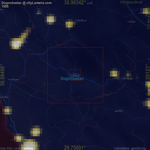
» NASA, Earths city lights 1995
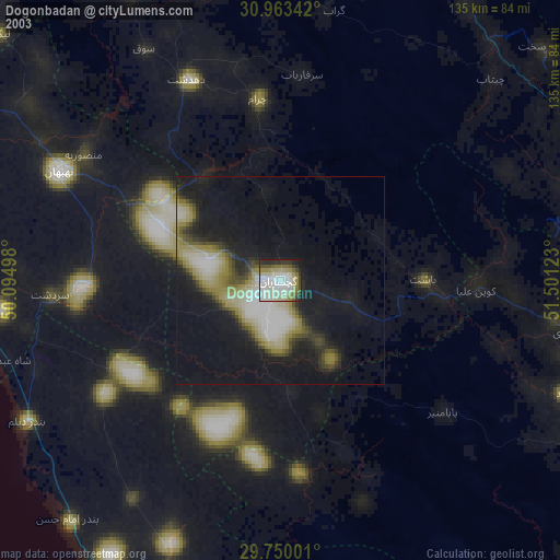
» NASA city lights 2003
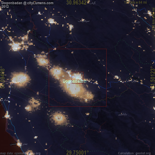
» Earth at Night: Flat Maps 2012, 2016